MyTopo
Ransom Stand Tennessee US Topo Map
Couldn't load pickup availability
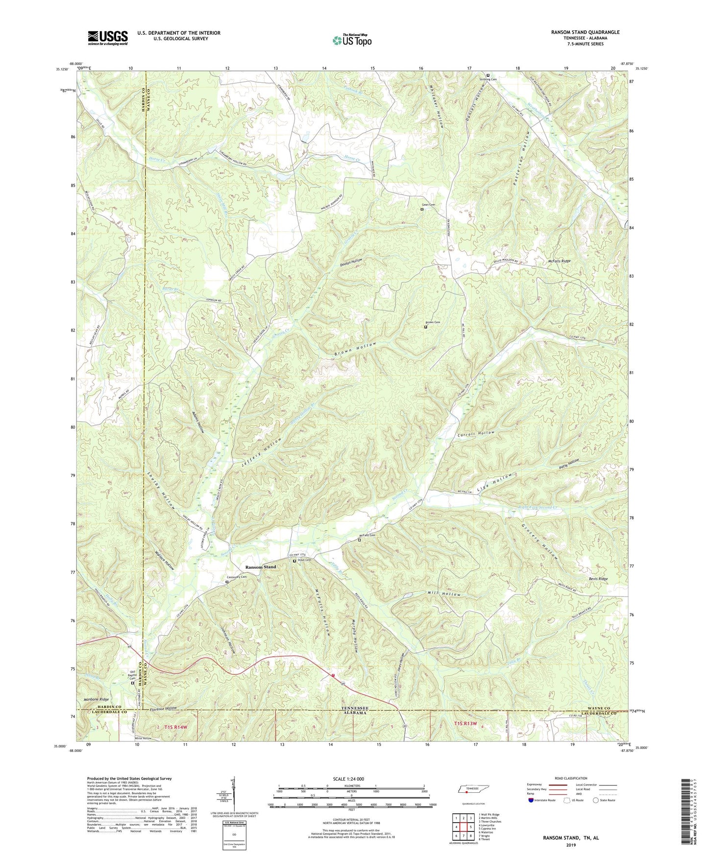
2022 topographic map quadrangle Ransom Stand in the states of Tennessee, Alabama. Scale: 1:24000. Based on the newly updated USGS 7.5' US Topo map series, this map is in the following counties: Wayne, Hardin, Lauderdale. The map contains contour data, water features, and other items you are used to seeing on USGS maps, but also has updated roads and other features. This is the next generation of topographic maps. Printed on high-quality waterproof paper with UV fade-resistant inks.
Quads adjacent to this one:
West: Lowryville
Northwest: Wolf Pit Ridge
North: Martins Mills
Northeast: Three Churches
East: Cypress Inn
Southeast: Threet
South: Wright
Southwest: Waterloo
This map covers the same area as the classic USGS quad with code o35087a8.
Contains the following named places: Adams Hollow, Brown Cemetery, Brown Hollow, Burns Branch, Carroll Hollow, Centenary Cemetery, Daniels Hollow, Dodd School, Doolan Hollow, Florence Hollow, Gean Cemetery, Grassy Creek, Grassy Creek School, Grocery Hollow, Hand Branch, Highway 69 Volunteer Fire Department, Jeffery Hollow, Jeffery Hollow Branch, Johnson Hollow, Johnson Mill Branch, Johnson School, Jones Hollow, Lige Hollow, Lutts Lookout Tower, McFalls Cemetery, McFalls Church, McFalls Hollow, McFalls Ridge, Mill Hollow, Murphy Hollow, Old Baptist Cemetery, Patsy Hollow, Patterson Hollow, Piney Grove Church, Prospect Church, Ransom Stand, Right Fork Second Creek, Sage, Second Creek Church, Shelby Hollow, Stave Mill Branch, Stout, Stout Cemetery, Stribling Cemetery, Tally Branch, Wallace Hollow, Weatherford, Weatherford-Bear Dam Number One B, White Hollow, ZIP Code: 38471


