MyTopo
Anderson Texas US Topo Map
Couldn't load pickup availability
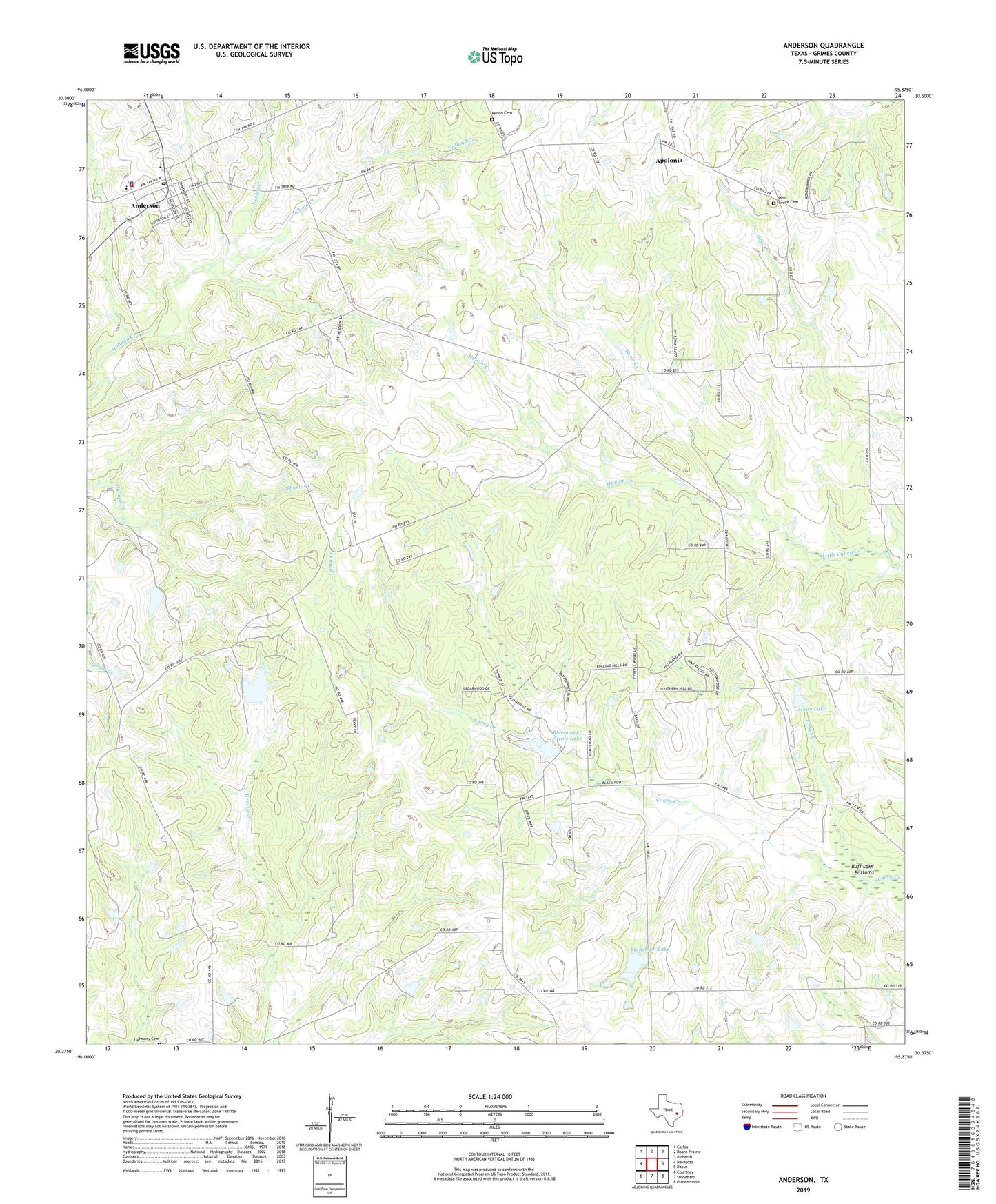
2019 topographic map quadrangle Anderson in the state of Texas. Scale: 1:24000. Based on the newly updated USGS 7.5' US Topo map series, this map is in the following counties: Grimes. The map contains contour data, water features, and other items you are used to seeing on USGS maps, but also has updated roads and other features. This is the next generation of topographic maps. Printed on high-quality waterproof paper with UV fade-resistant inks.
Quads adjacent to this one:
West: Navasota
Northwest: Carlos
North: Roans Prairie
Northeast: Richards
East: Dacus
Southeast: Plantersville
South: Stoneham
Southwest: Courtney
Contains the following named places: Anderson, Anderson Post Office, Anderson Volunteer Fire Department Central Grimes Volunteer Fire Department, Apolonia, Bethela Grove Church, Bluebonnet Farms Lake, Bluebonnet Farms Lake Dam, Buff Lake Bottoms, Bums Creek, City of Anderson, Cokesbury Church, Floyds Creek, Grimes County Jail, Grimes County Sheriff's Office, Grimes Prairie School, Haynie Creek, Mason Cemetery, Moon Lake, Moon Lake Dam, Nebletts Creek, Pilgrim Point Church, Pine Grove Cemetery, Pleasant Grove Church, Saint Stanislaus Cemetery, Saint Stanislaus Church, Stoneham Lake, Stoneham Lake Dam, Terrell School