MyTopo
Beaukiss Texas US Topo Map
Couldn't load pickup availability
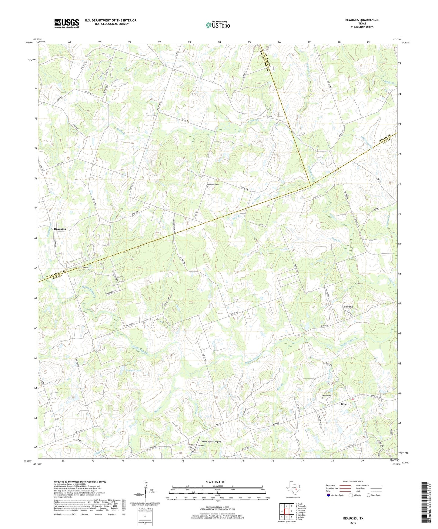
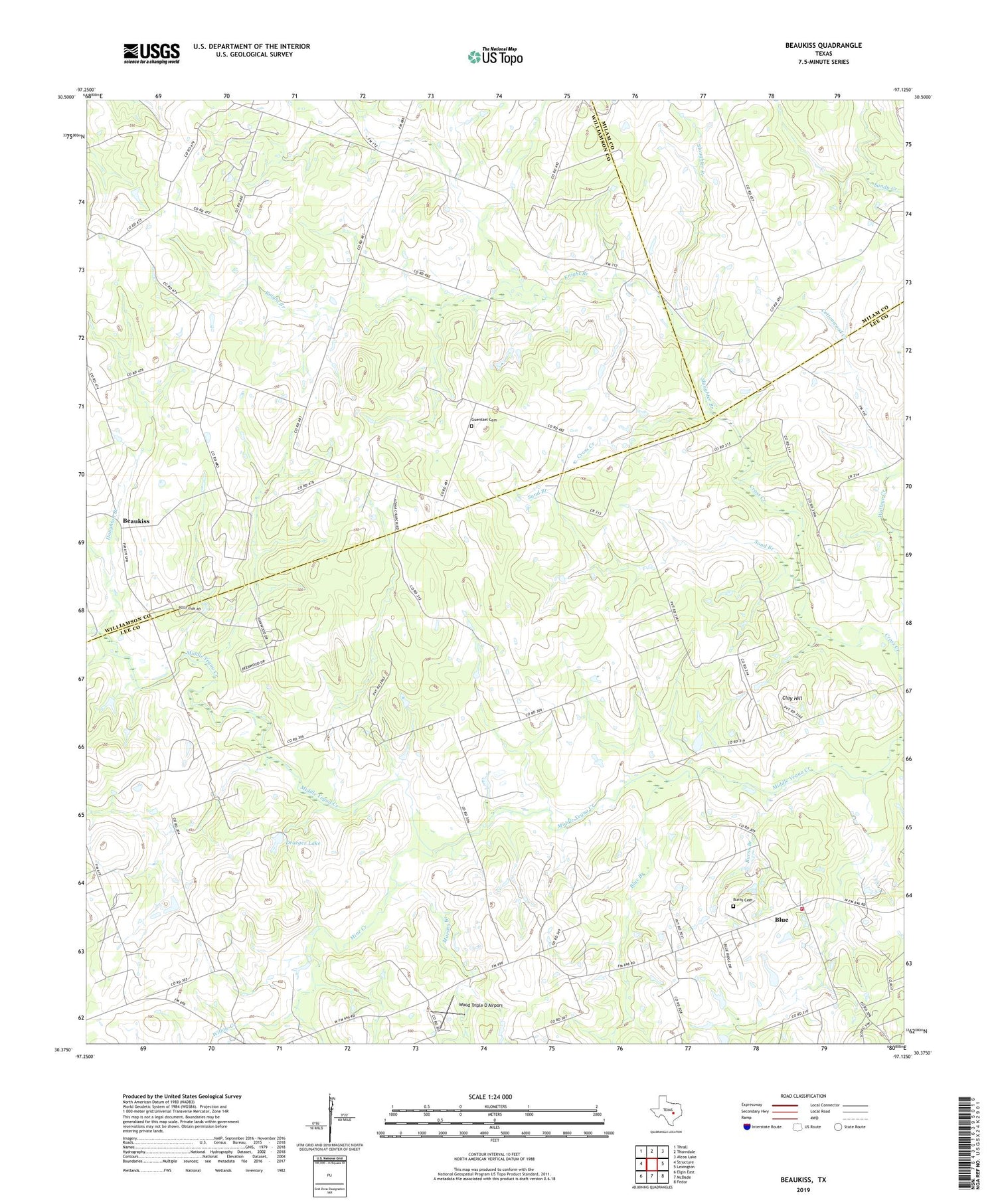
2019 topographic map quadrangle Beaukiss in the state of Texas. Scale: 1:24000. Based on the newly updated USGS 7.5' US Topo map series, this map is in the following counties: Lee, Williamson, Milam. The map contains contour data, water features, and other items you are used to seeing on USGS maps, but also has updated roads and other features. This is the next generation of topographic maps. Printed on high-quality waterproof paper with UV fade-resistant inks.
Quads adjacent to this one:
West: Structure
Northwest: Thrall
North: Thorndale
Northeast: Alcoa Lake
East: Lexington
Southeast: Fedor
South: McDade
Southwest: Elgin East
Contains the following named places: Abbott Oil Field, Adina, Beaukiss, Blue, Blue Branch, Blue School, Blue Volunteer Fire Department, Burns Branch, Burns Cemetery, Clay Hill, Cottonwood Creek, Draeger Lake, Draeger Lake Dam, Eckman School, Florence Church, Guentzel Cemetery, Houghton Branch, Knight Branch, Lawrence School, Marshy Branch, Mine Creek, Sand Branch, Shiloh, Shiloh Church, Slaughter Branch, Willow Creek, Wood Triple D Airport