MyTopo
Biel Lake South Texas US Topo Map
Couldn't load pickup availability
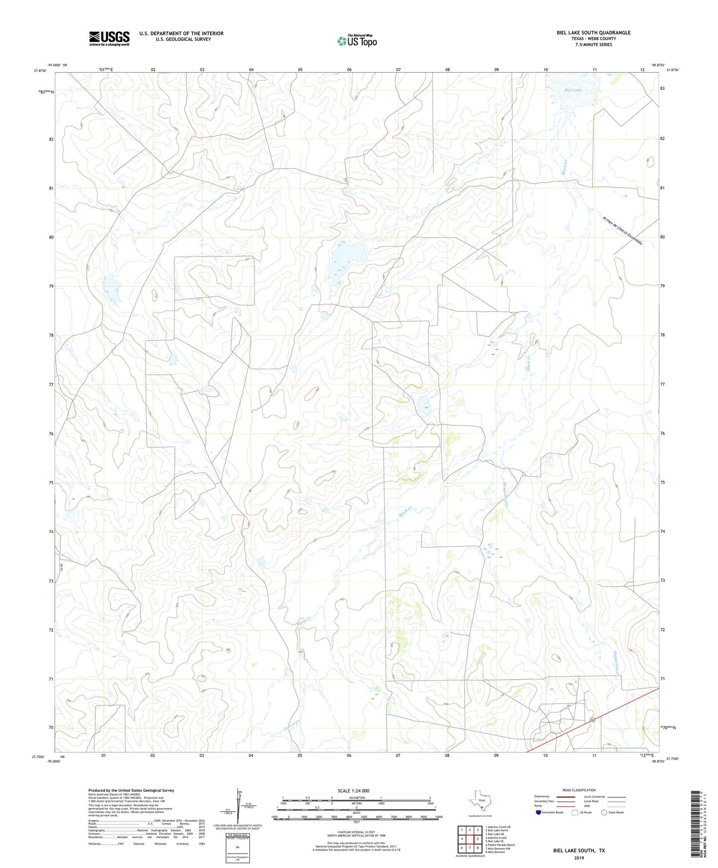
2022 topographic map quadrangle Biel Lake South in the state of Texas. Scale: 1:24000. Based on the newly updated USGS 7.5' US Topo map series, this map is in the following counties: Webb. The map contains contour data, water features, and other items you are used to seeing on USGS maps, but also has updated roads and other features. This is the next generation of topographic maps. Printed on high-quality waterproof paper with UV fade-resistant inks.
Quads adjacent to this one:
West: Alamito Creek
Northwest: Alamito Creek NE
North: Biel Lake North
Northeast: Biel Lake NE
East: Biel Lake SE
Southeast: Mills Bennett
South: Mills Bennett NW
Southwest: Piedra Parada Ranch
This map covers the same area as the classic USGS quad with code o27098g8.
Contains the following named places: Arroyo de Charco Escondido, La Volanta Windmill, Las Mujeres Ranch, Mesquitoso Creek, Tal Vez Oil Field, Torres Creek