MyTopo
Burnt Canyon Texas US Topo Map
Couldn't load pickup availability
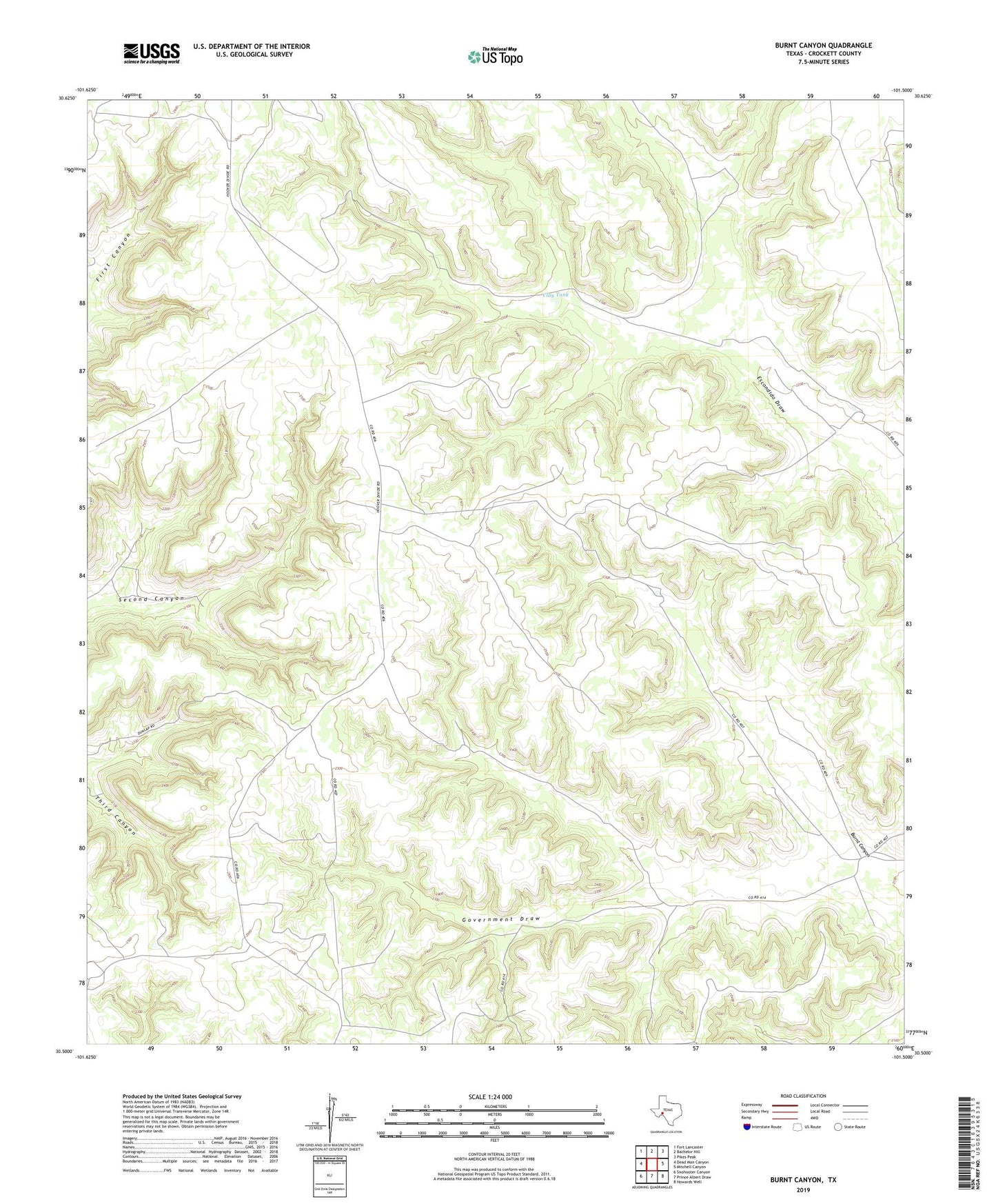
2022 topographic map quadrangle Burnt Canyon in the state of Texas. Scale: 1:24000. Based on the newly updated USGS 7.5' US Topo map series, this map is in the following counties: Crockett. The map contains contour data, water features, and other items you are used to seeing on USGS maps, but also has updated roads and other features. This is the next generation of topographic maps. Printed on high-quality waterproof paper with UV fade-resistant inks.
Quads adjacent to this one:
West: Dead Man Canyon
Northwest: Fort Lancaster
North: Bachelor Hill
Northeast: Pikes Peak
East: Mitchell Canyon
Southeast: Howards Well
South: Prince Albert Draw
Southwest: Sixshooter Canyon
This map covers the same area as the classic USGS quad with code o30101e5.
Contains the following named places: Burnt Canyon, Clay Tank, Clay Tank Windmill, East Windmill, Little Windmill