
MyTopo
Caplen Texas US Topo Map
Couldn't load pickup availability
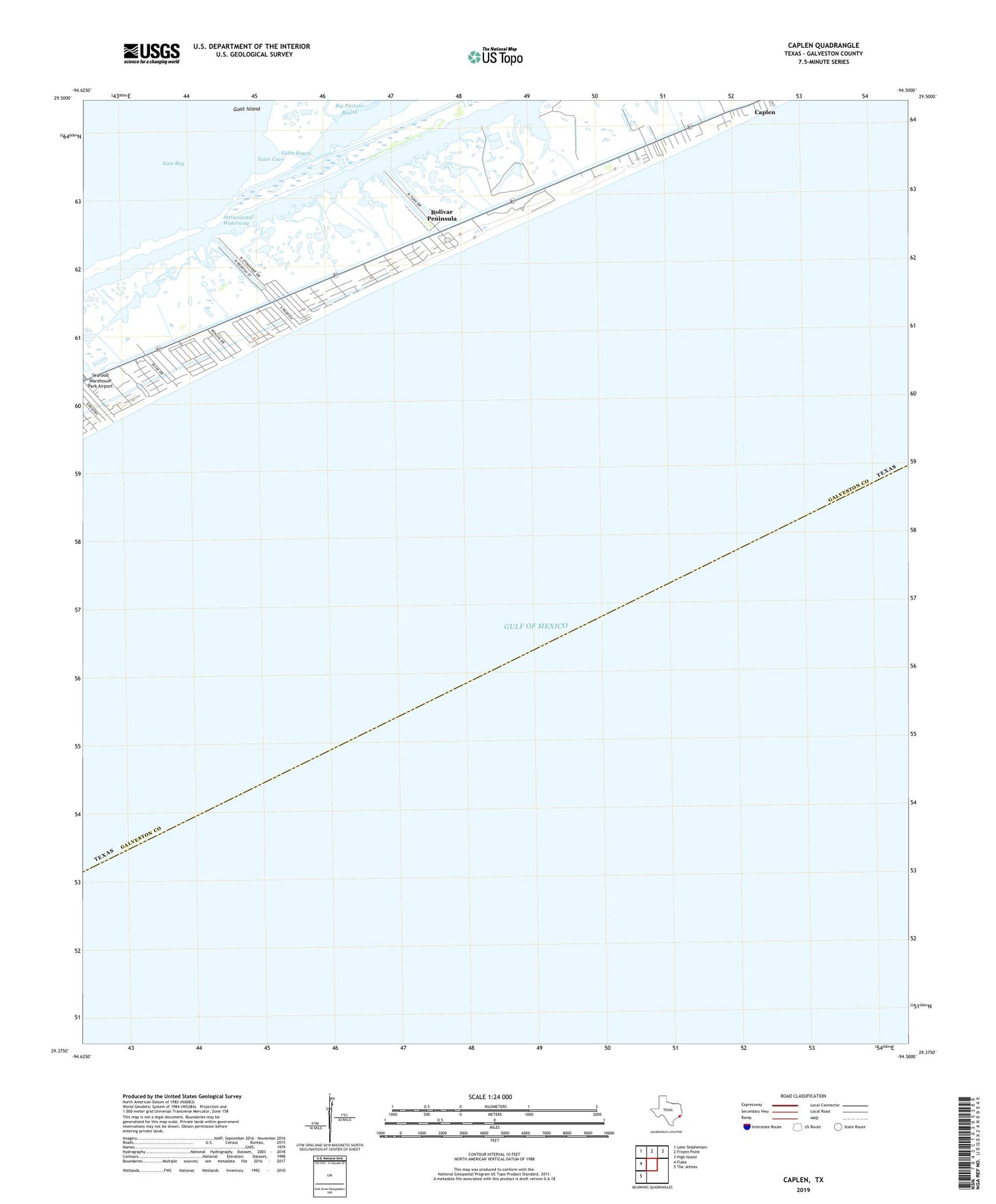
2019 topographic map quadrangle Caplen in the state of Texas. Scale: 1:24000. Based on the newly updated USGS 7.5' US Topo map series, this map is in the following counties: Galveston. The map contains contour data, water features, and other items you are used to seeing on USGS maps, but also has updated roads and other features. This is the next generation of topographic maps. Printed on high-quality waterproof paper with UV fade-resistant inks.
Quads adjacent to this one:
West: Flake
Northwest: Lake Stephenson
North: Frozen Point
Northeast: High Island
Southwest: The Jetties
Contains the following named places: Big Pasture Bayou, Bolivar Peninsula, Bolivar Peninsula Census Designated Place, Caplen, Caplen Oil Field, Charpiot Marina, Crab Lake, Stingaree Marina, The Breakers Building, Yates Bayou, Yates Cove


