MyTopo
China Canyon Texas US Topo Map
Couldn't load pickup availability
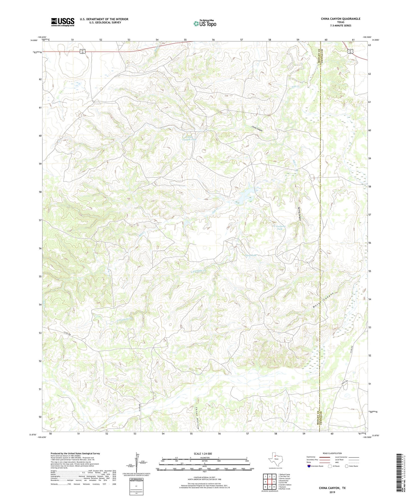
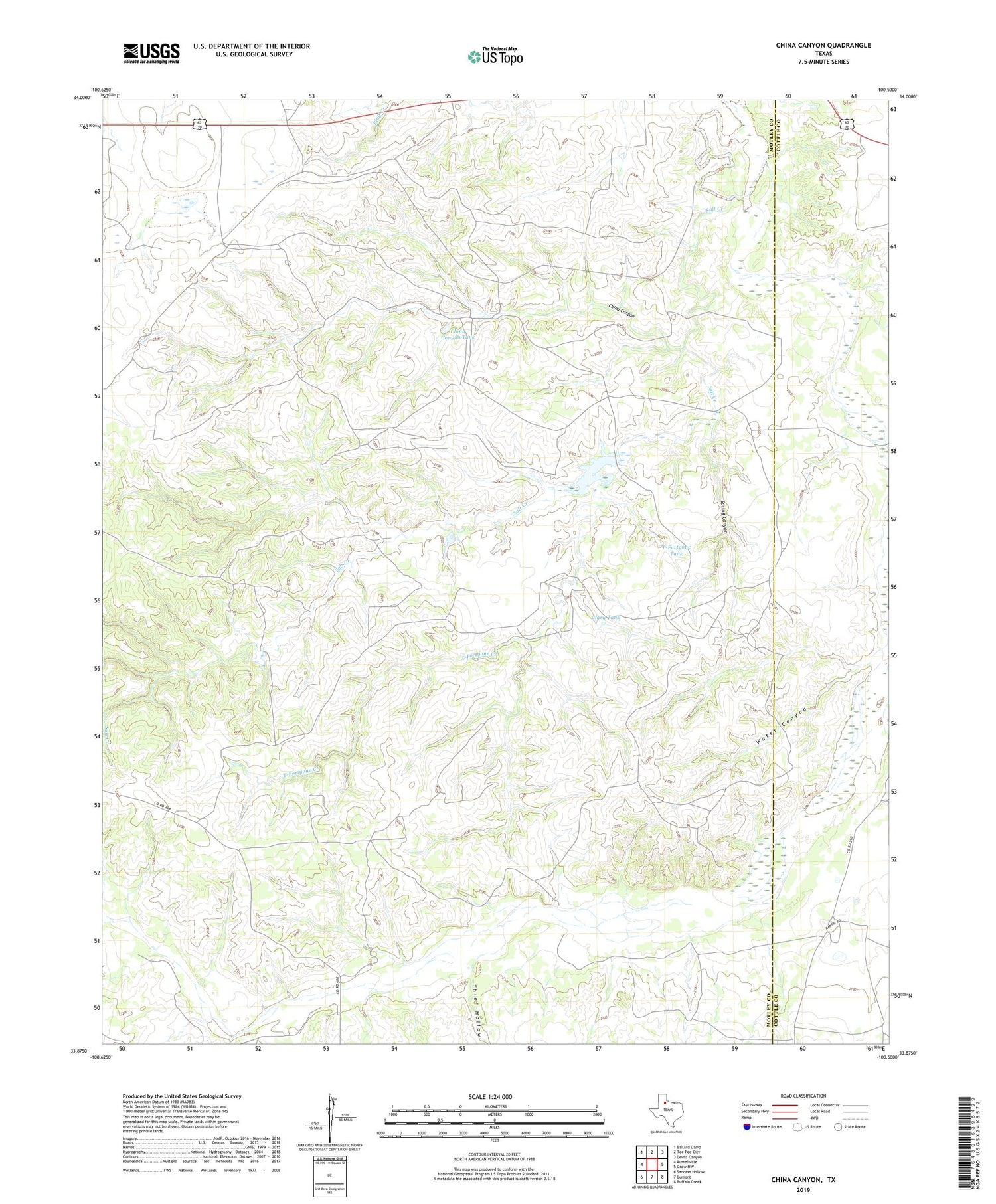
2019 topographic map quadrangle China Canyon in the state of Texas. Scale: 1:24000. Based on the newly updated USGS 7.5' US Topo map series, this map is in the following counties: Motley, Cottle. The map contains contour data, water features, and other items you are used to seeing on USGS maps, but also has updated roads and other features. This is the next generation of topographic maps. Printed on high-quality waterproof paper with UV fade-resistant inks.
Quads adjacent to this one:
West: Russellville
Northwest: Ballard Camp
North: Tee Pee City
Northeast: Devils Canyon
East: Grow NW
Southeast: Buffalo Creek
South: Dumont
Southwest: Sanders Hollow
Contains the following named places: Big Pool Windmill, China Canyon, China Canyon Tank, Clary Tank, Eastman Windmill, Lower China Windmills, Middle China Windmill, Middle Windmill, River Windmill, S Star Tank, Salt Creek, Spring Canyon, Summit, Swenson Ranch, T-Fortyone Creek, T-Fortyone Tank, Thief Hollow, Thomas Windmill, Upper China Windmill, Water Canyon