MyTopo
Ballard Camp Texas US Topo Map
Couldn't load pickup availability
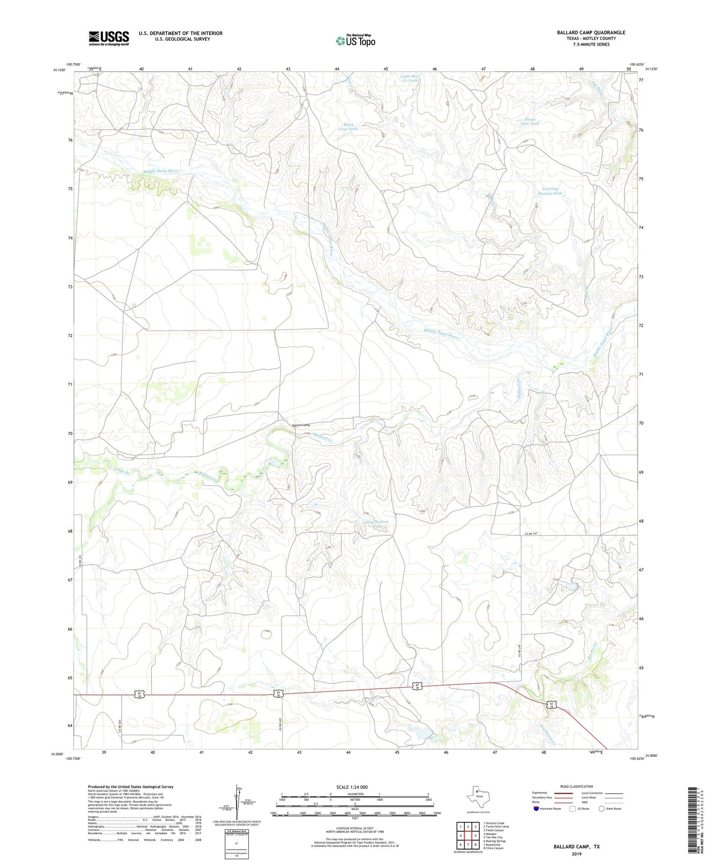
2022 topographic map quadrangle Ballard Camp in the state of Texas. Scale: 1:24000. Based on the newly updated USGS 7.5' US Topo map series, this map is in the following counties: Motley. The map contains contour data, water features, and other items you are used to seeing on USGS maps, but also has updated roads and other features. This is the next generation of topographic maps. Printed on high-quality waterproof paper with UV fade-resistant inks.
Quads adjacent to this one:
West: Matador
Northwest: Hornica Creek
North: Turtle Hole Camp
Northeast: Fields Canyon
East: Tee Pee City
Southeast: China Canyon
South: Russellville
Southwest: Roaring Springs
This map covers the same area as the classic USGS quad with code o34100a6.
Contains the following named places: Ballard Camp, Ballard Creek, Ballard Windmill, Bear Creek, Bear Creek Windmill, Beauchumt Windmill, Big Old Glory Windmill, Black Cow Pasture Windmill, Black Cow Tank, Boxcar Windmill, Bull Pasture Windmill, Camp House Windmill, Corral Windmill, Dry Section Tank, Dry Section Windmill, Hackberry Creek, Hackberry Windmill, Line Windmill, Little Bear Creek Tank, Little Old Glory Windmill, Longs Branch, Lower River Windmill, Phone Line Tank, Phone Line Windmill, River Windmill, Section Two Windmill, Stotts Windmill, Twentythree Windmill, Two Section Windmill, Upper River Windmill, Wayburn Windmill, West Shinnery Windmill, Wylie Half Windmill, Yearling Pasture Tank