MyTopo
China Lake Texas US Topo Map
Couldn't load pickup availability
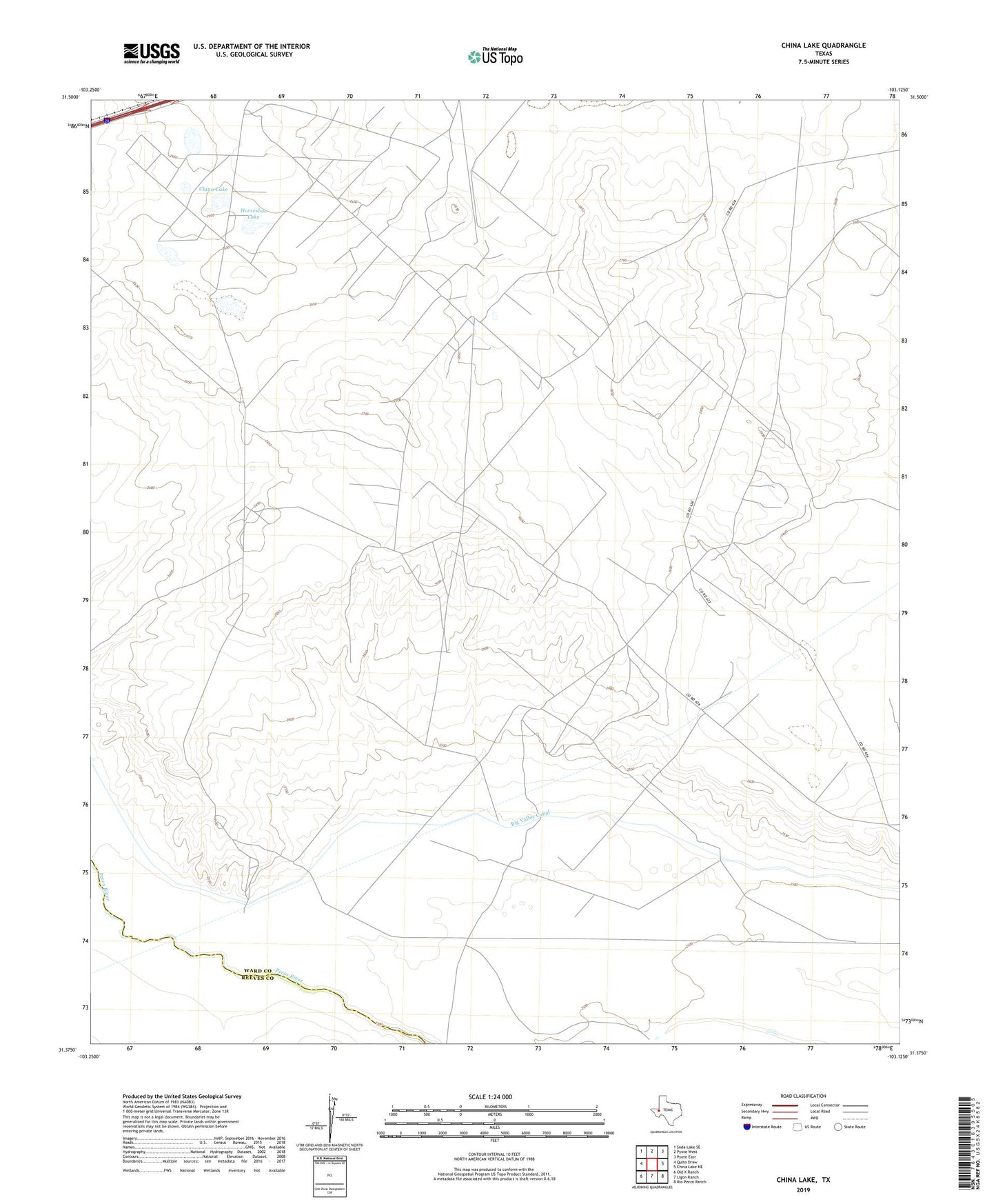
2022 topographic map quadrangle China Lake in the state of Texas. Scale: 1:24000. Based on the newly updated USGS 7.5' US Topo map series, this map is in the following counties: Ward, Reeves. The map contains contour data, water features, and other items you are used to seeing on USGS maps, but also has updated roads and other features. This is the next generation of topographic maps. Printed on high-quality waterproof paper with UV fade-resistant inks.
Quads adjacent to this one:
West: Quito Draw
Northwest: Soda Lake SE
North: Pyote West
Northeast: Pyote East
East: China Lake NE
Southeast: Rio Pecos Ranch
South: Ligon Ranch
Southwest: Old X Ranch
This map covers the same area as the classic USGS quad with code o31103d2.
Contains the following named places: Big Valley Canal, Black Well, China Lake, Horseshoe Lake, ZIP Code: 79777