MyTopo
Chispa Texas US Topo Map
Couldn't load pickup availability
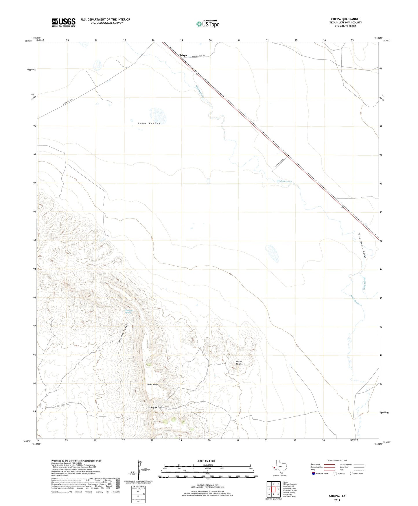
2022 topographic map quadrangle Chispa in the state of Texas. Scale: 1:24000. Based on the newly updated USGS 7.5' US Topo map series, this map is in the following counties: Jeff Davis. The map contains contour data, water features, and other items you are used to seeing on USGS maps, but also has updated roads and other features. This is the next generation of topographic maps. Printed on high-quality waterproof paper with UV fade-resistant inks.
Quads adjacent to this one:
West: Ninetysix Ranch
Northwest: Lobo
North: Chispa Mountain
Northeast: Mayfield Hills
East: Dowman Canyon
Southeast: Valentine West
South: Vieja Pass
Southwest: Soldier Spring
This map covers the same area as the classic USGS quad with code o30104f6.
Contains the following named places: C Means Ranch, Chispa, Little Flattop, Ninetysix Gap, Ninetysix Spring, Ninetysix Windmill, Tally Slough, White Ranch