MyTopo
Claude SW Texas US Topo Map
Couldn't load pickup availability
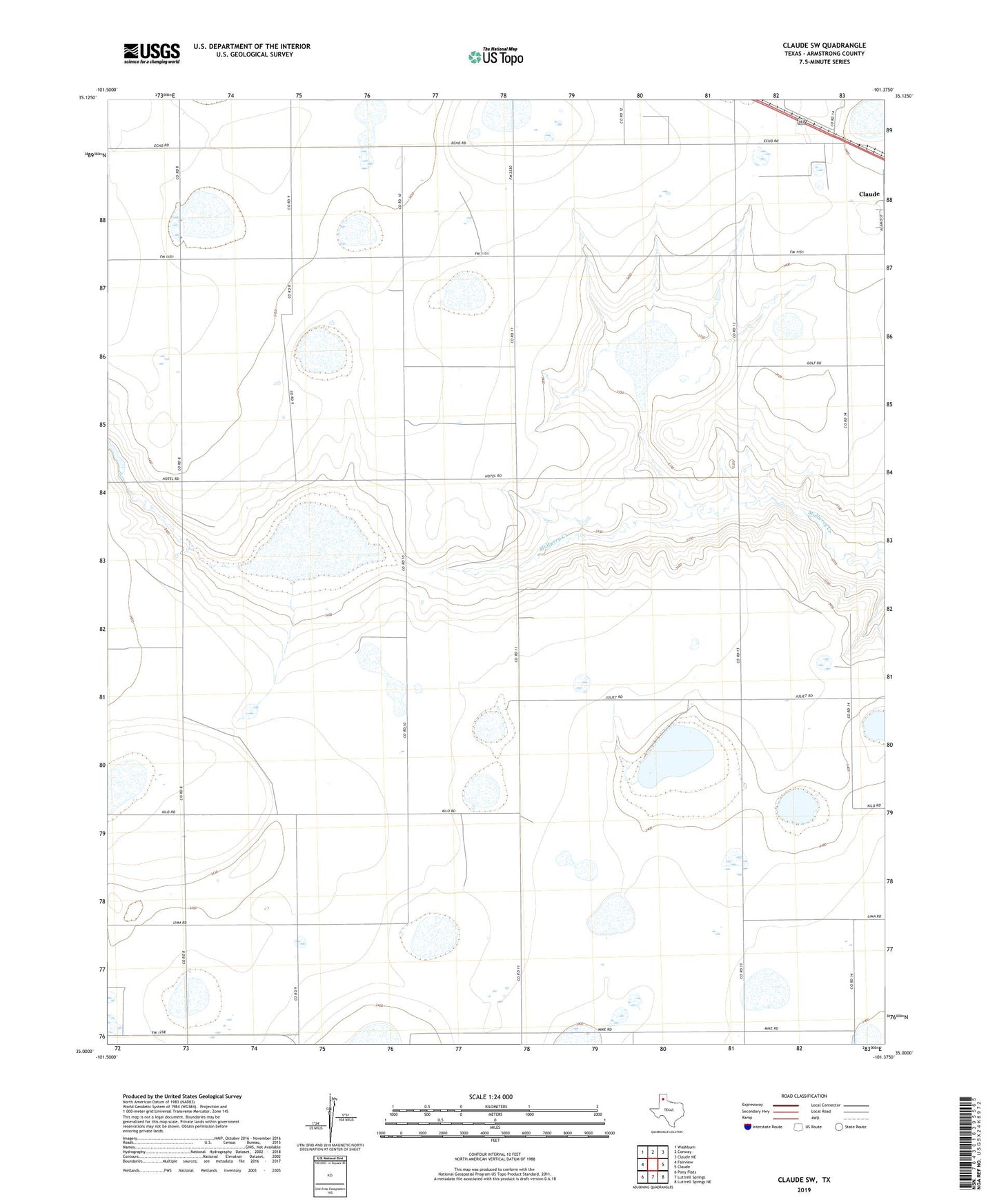
2022 topographic map quadrangle Claude SW in the state of Texas. Scale: 1:24000. Based on the newly updated USGS 7.5' US Topo map series, this map is in the following counties: Armstrong. The map contains contour data, water features, and other items you are used to seeing on USGS maps, but also has updated roads and other features. This is the next generation of topographic maps. Printed on high-quality waterproof paper with UV fade-resistant inks.
Quads adjacent to this one:
West: Fairview
Northwest: Washburn
North: Conway
Northeast: Claude NE
East: Claude
Southeast: Luttrell Springs NE
South: Luttrell Springs
Southwest: Pony Flats
This map covers the same area as the classic USGS quad with code o35101a4.
Contains the following named places: Claude North Division, Finley Farm Airport, Finley Ranch Airport, ZIP Code: 79019