MyTopo
Claude Texas US Topo Map
Couldn't load pickup availability
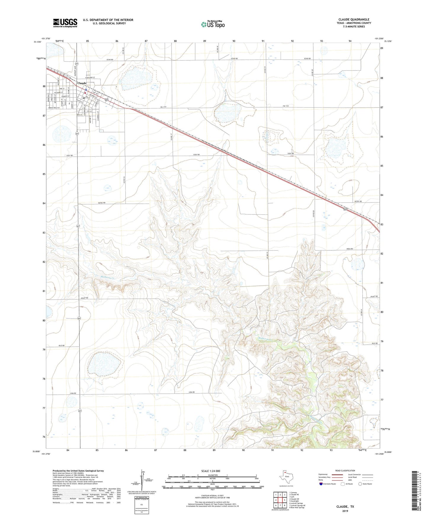
2022 topographic map quadrangle Claude in the state of Texas. Scale: 1:24000. Based on the newly updated USGS 7.5' US Topo map series, this map is in the following counties: Armstrong. The map contains contour data, water features, and other items you are used to seeing on USGS maps, but also has updated roads and other features. This is the next generation of topographic maps. Printed on high-quality waterproof paper with UV fade-resistant inks.
Quads adjacent to this one:
West: Claude SW
Northwest: Conway
North: Claude NE
Northeast: Lark
East: Goodnight
Southeast: Blue Hole Springs
South: Luttrell Springs NE
Southwest: Luttrell Springs
This map covers the same area as the classic USGS quad with code o35101a3.
Contains the following named places: Armstrong County Jail, Armstrong County Sheriff's Office, City of Claude, Claude, Claude Elementary School, Claude Emergency Medical Services, Claude Fire Station, Claude Post Office, Claude School, Malden