MyTopo
Clint NE Texas US Topo Map
Couldn't load pickup availability
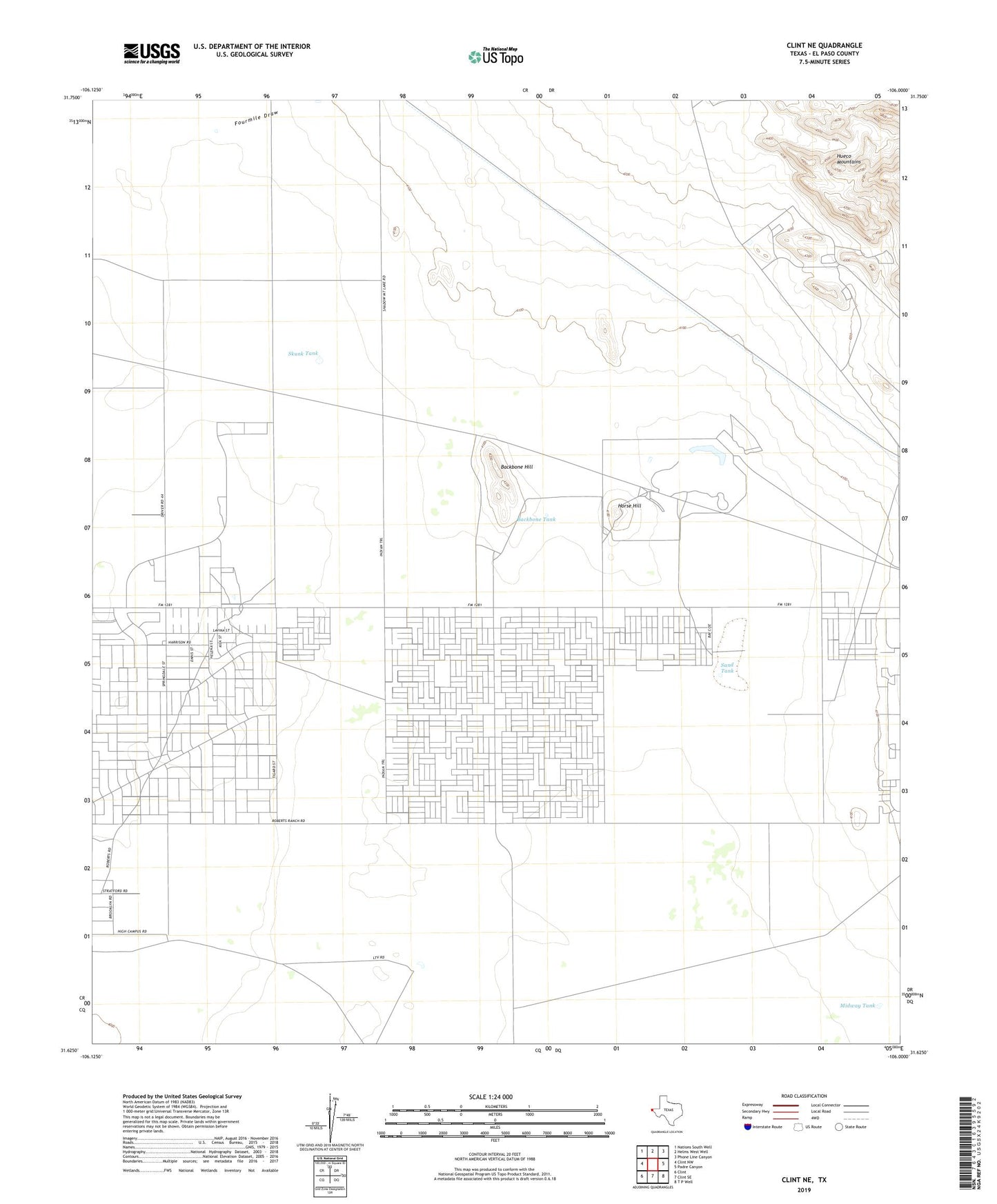
2022 topographic map quadrangle Clint NE in the state of Texas. Scale: 1:24000. Based on the newly updated USGS 7.5' US Topo map series, this map is in the following counties: El Paso. The map contains contour data, water features, and other items you are used to seeing on USGS maps, but also has updated roads and other features. This is the next generation of topographic maps. Printed on high-quality waterproof paper with UV fade-resistant inks.
Quads adjacent to this one:
West: Clint NW
Northwest: Nations South Well
North: Helms West Well
Northeast: Phone Line Canyon
East: Padre Canyon
Southeast: T P Well
South: Clint SE
Southwest: Clint
This map covers the same area as the classic USGS quad with code o31106f1.
Contains the following named places: Backbone Hill, Backbone Tank, Cattleman's North Ranchos Number 3 Colonia, Dugout Tank, El Paso East Division, Fourmile Draw, Horse Hill, Lake Tank, Midway Tank, Red Well, Rentleman Well, Sand Tank, Skunk Tank