MyTopo
Conroe NE Texas US Topo Map
Couldn't load pickup availability
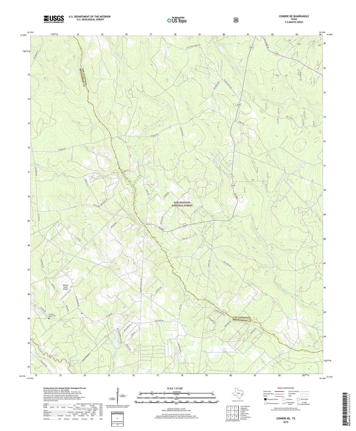
2019 topographic map quadrangle Conroe NE in the state of Texas. Scale: 1:24000. Based on the newly updated USGS 7.5' US Topo map series, this map is in the following counties: San Jacinto, Montgomery. The map contains contour data, water features, and other items you are used to seeing on USGS maps, but also has updated roads and other features. This is the next generation of topographic maps. Printed on high-quality waterproof paper with UV fade-resistant inks.
Quads adjacent to this one:
West: Willis
Northwest: New Waverly
North: Maynard
Northeast: Coldspring
East: Bear Creek
Southeast: Fostoria
South: Cut And Shoot
Southwest: Conroe
Contains the following named places: Andrews Lake, Andrews Lake Dam, China Grove Church, County Line Church, Hickory Grove Cemetery, Little Caney Creek, McRae Dam, McRae Lake, Nebletts Hunter Camp, North Montgomery County Fire Department Station 93, Outlaw Flyers Airport, Salem Church, Steep Hollow, Turkey Creek, ZIP Code: 77378