MyTopo
Cut And Shoot Texas US Topo Map
Couldn't load pickup availability
Also explore the Cut And Shoot Forest Service Topo of this same quad for updated USFS data
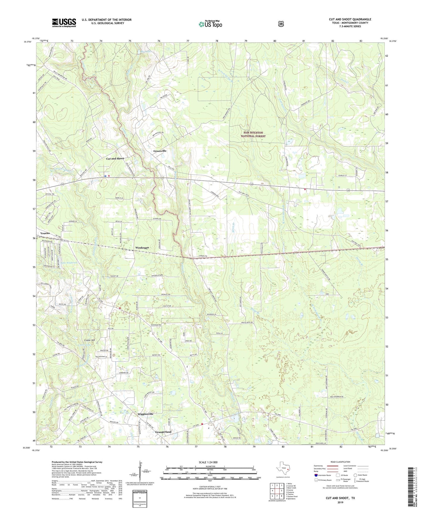
2022 topographic map quadrangle Cut And Shoot in the state of Texas. Scale: 1:24000. Based on the newly updated USGS 7.5' US Topo map series, this map is in the following counties: Montgomery. The map contains contour data, water features, and other items you are used to seeing on USGS maps, but also has updated roads and other features. This is the next generation of topographic maps. Printed on high-quality waterproof paper with UV fade-resistant inks.
Quads adjacent to this one:
West: Conroe
Northwest: Willis
North: Conroe NE
Northeast: Bear Creek
East: Fostoria
Southeast: Splendora
South: Outlaw Pond
Southwest: Tamina
This map covers the same area as the classic USGS quad with code o30095c3.
Contains the following named places: Austin Elementary School, Austin School, Bart Lake, Bart Lake Dam, Ben Milam School, Black Diamond, Cagle Branch, Caney Creek Fire and Rescue Station 81, Caney Creek High School, City of Cut and Shoot, Coney Creek High School Football Stadium, Crater Hill, Crater Lake, Creighton Intermediate School, Cut and Shoot, Cut and Shoot Airport, Cut and Shoot City Hall, Cut and Shoot Police Department, Cut and Shoot Post Office, Deerwood, Deerwood Census Designated Place, East Fork Crystal Creek, Grangerland, Grangerland Census Designated Place, Grangerland Volunteer Fire Department Station 41, Groceville, KJZS-FM (Conroe), Lake Wildwood, Lake Wildwood Dam, McRae Creek, Milam Branch, Montgomery County Hospital District Emergency Medical Services Station 12, Moorhead Junior High School, New Bethlehem Church, North Montgomery County Fire Department Station 97, North Montgomery County Fire Department Station 98, Saddle Blanket Pond, Shady Grove Church, Timber, Waukegan, West Fork Crystal Creek, West Fork Spring Branch, Wigginsville, Youens, ZIP Code: 77306