MyTopo
Dundee SW Texas US Topo Map
Couldn't load pickup availability
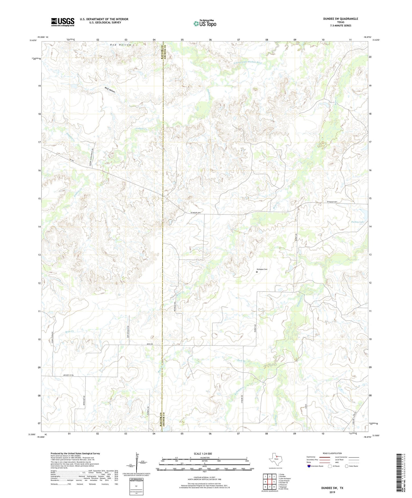
2022 topographic map quadrangle Dundee SW in the state of Texas. Scale: 1:24000. Based on the newly updated USGS 7.5' US Topo map series, this map is in the following counties: Archer, Baylor. The map contains contour data, water features, and other items you are used to seeing on USGS maps, but also has updated roads and other features. This is the next generation of topographic maps. Printed on high-quality waterproof paper with UV fade-resistant inks.
Quads adjacent to this one:
West: Cope Branch
Northwest: Fulda
North: Dundee
Northeast: Lake Kickapoo
East: Dundee SE
Southeast: Lake Olney
South: Megargel
Southwest: Westover
This map covers the same area as the classic USGS quad with code o33098e8.
Contains the following named places: Boone Ranch, Buck Branch, Daggett Creek, Godwin Creek, Hrncirik Lake, Hrncirik Lake Dam, Kickapoo Cemetery, Parkey Lake, Parkey Lake Dam, Wagon Branch, Wolf Hollow, ZIP Code: 76370