MyTopo
Fedor Texas US Topo Map
Couldn't load pickup availability
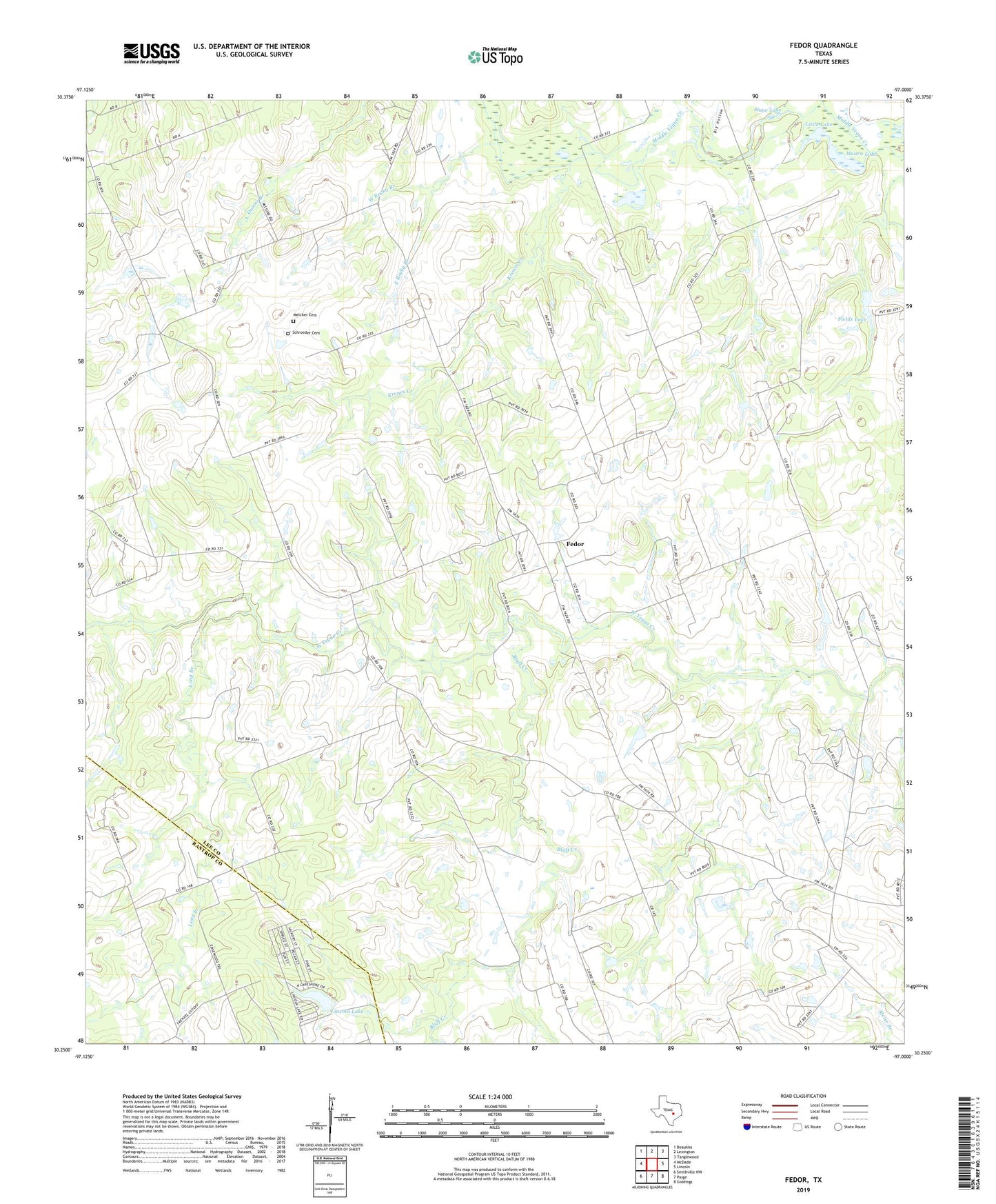
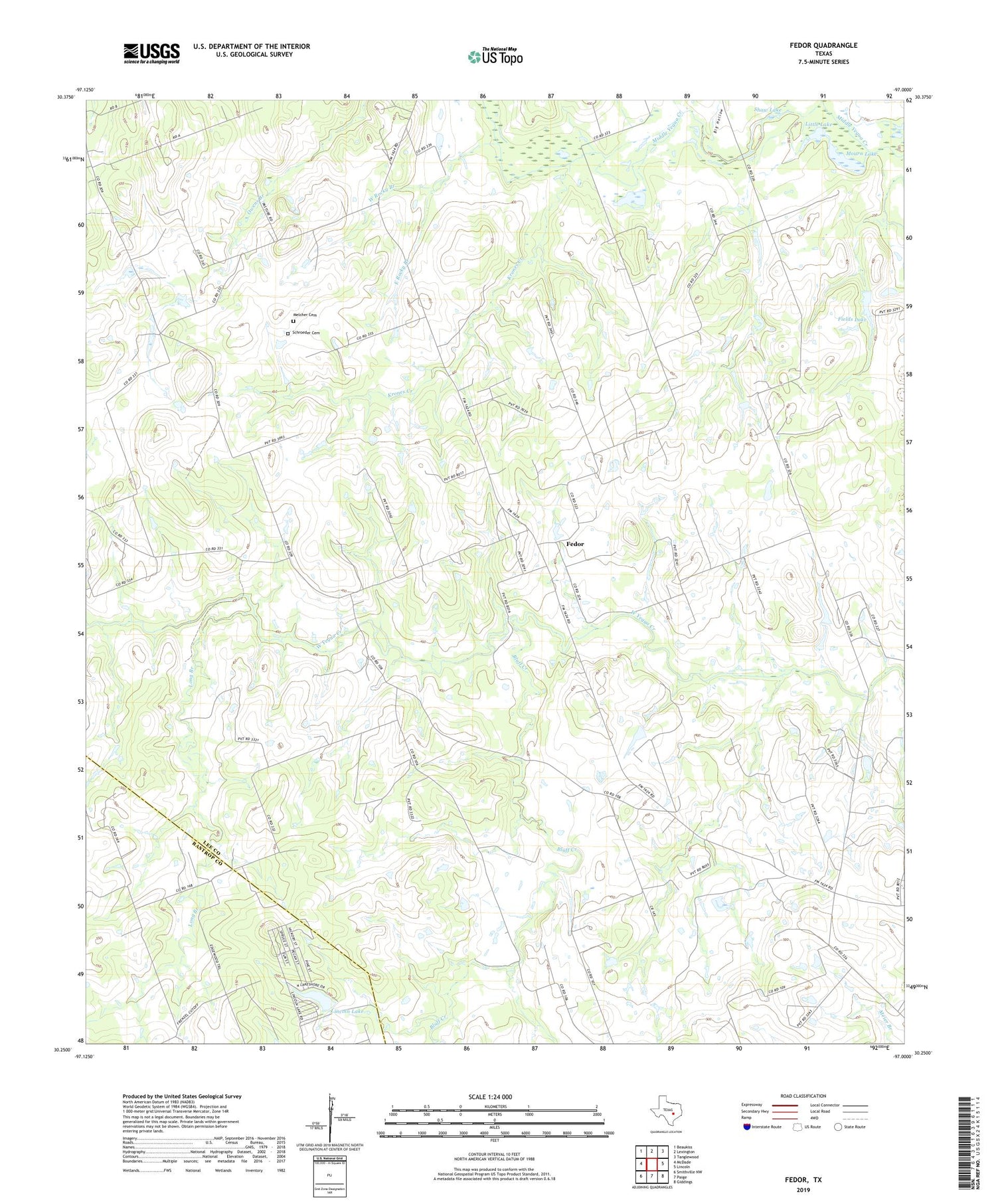
2019 topographic map quadrangle Fedor in the state of Texas. Scale: 1:24000. Based on the newly updated USGS 7.5' US Topo map series, this map is in the following counties: Lee, Bastrop. The map contains contour data, water features, and other items you are used to seeing on USGS maps, but also has updated roads and other features. This is the next generation of topographic maps. Printed on high-quality waterproof paper with UV fade-resistant inks.
Quads adjacent to this one:
West: McDade
Northwest: Beaukiss
North: Lexington
Northeast: Tanglewood
East: Lincoln
Southeast: Giddings
South: Paige
Southwest: Smithville NW
Contains the following named places: Biehle School, Big Hollow, Bluff Creek, Bluff Creek Church, East Rock Creek, East Rocky Branch, Fedor, Fedor Church, Field Lake Dam, Fields Lake, Krones Creek, Lincoln Dam, Lincoln Lake, Little Lake, Little Zion Church, Long Branch, Long Branch School, Melcher Cemetery, Moag School, Mount Nebo Church, Mourn Lake, Patschke School, Red Branch, Schroeder Cemetery, Shaw Lake, South Branch Library, Trinity School, West Rocky Branch, Willie Branch