
MyTopo
Freer South Texas US Topo Map
Couldn't load pickup availability
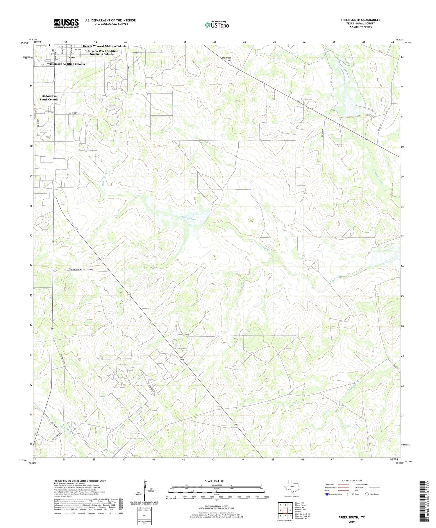
2019 topographic map quadrangle Freer South in the state of Texas. Scale: 1:24000. Based on the newly updated USGS 7.5' US Topo map series, this map is in the following counties: Duval. The map contains contour data, water features, and other items you are used to seeing on USGS maps, but also has updated roads and other features. This is the next generation of topographic maps. Printed on high-quality waterproof paper with UV fade-resistant inks.
Quads adjacent to this one:
West: Sarnosa Hill
Northwest: Freer NW
North: Freer North
Northeast: Rosita NW
East: Rosita
Southeast: Benavides NW
South: Parrilla Creek NE
Southwest: Parrilla Creek NW
Contains the following named places: George W Ward Addition Colonia, George W Ward Addition Number 2 Colonia, Highway 16 South Colonia, Hoffman Oil Field, KBRA-FM (Freer), Loma Novia Oil Field, Piedritos Hill, Soil Conservation Service Site 7 Dam, Soil Conservation Service Site 7 Reservoir, Soil Conservation Service Site 9 Dam, Soil Conservation Service Site 9 Reservoir, Williamson Addition Colonia


