MyTopo
Sarnosa Hill Texas US Topo Map
Couldn't load pickup availability
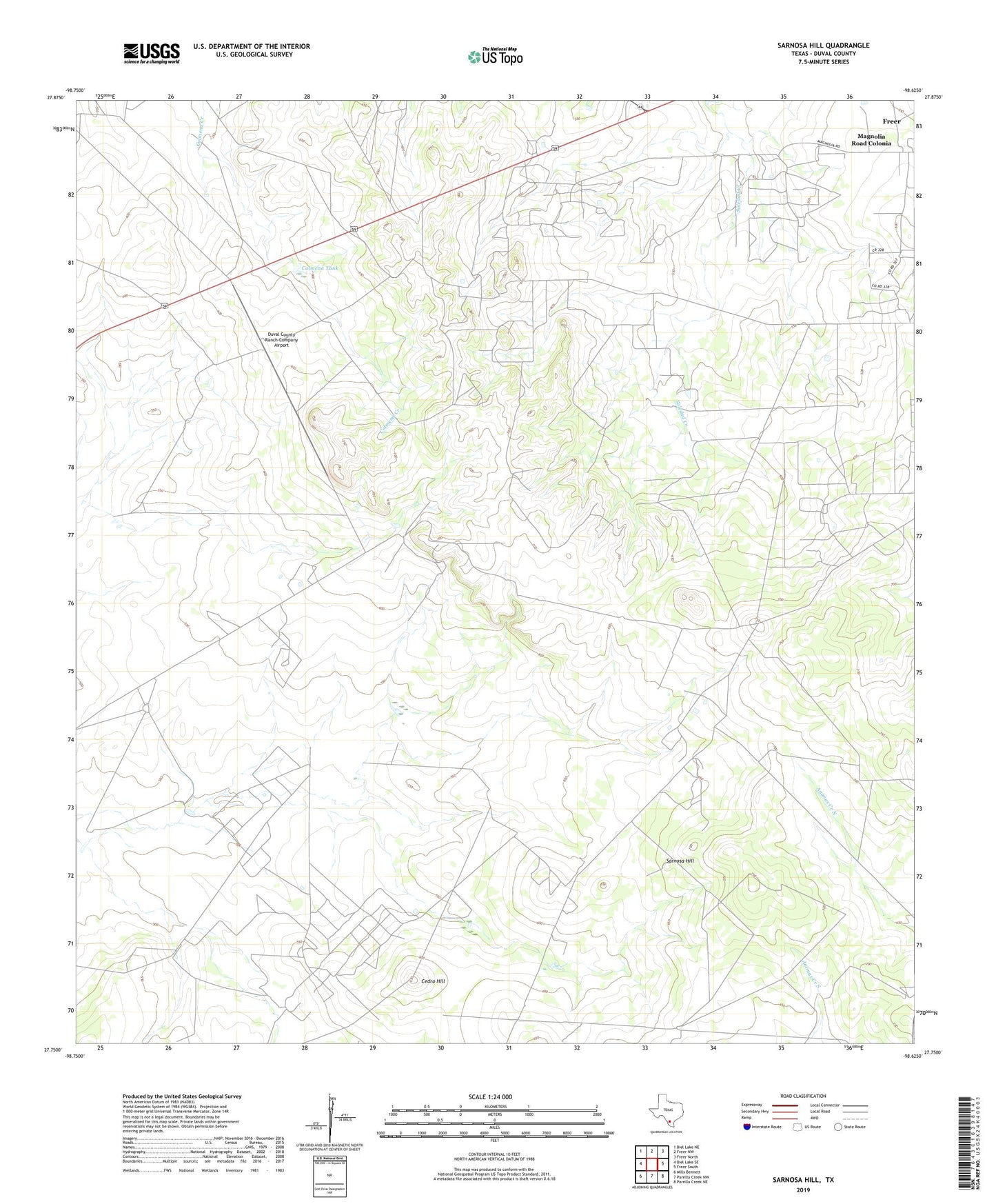
2022 topographic map quadrangle Sarnosa Hill in the state of Texas. Scale: 1:24000. Based on the newly updated USGS 7.5' US Topo map series, this map is in the following counties: Duval. The map contains contour data, water features, and other items you are used to seeing on USGS maps, but also has updated roads and other features. This is the next generation of topographic maps. Printed on high-quality waterproof paper with UV fade-resistant inks.
Quads adjacent to this one:
West: Biel Lake SE
Northwest: Biel Lake NE
North: Freer NW
Northeast: Freer North
East: Freer South
Southeast: Parrilla Creek NE
South: Parrilla Creek NW
Southwest: Mills Bennett
This map covers the same area as the classic USGS quad with code o27098g6.
Contains the following named places: Cedro Hill, Cedro Hill Oil Field, Colmena Oil Field, Colmena Tank, Duval County Ranch Colmena Tank Dam, Duval County Ranch Company Airport, Duval Ranch, Lundell Oil Field, Magnolia Road Colonia, Sarnosa Hill, Sarnosa Oil Field, ZIP Code: 78357