MyTopo
Rosita Texas US Topo Map
Couldn't load pickup availability
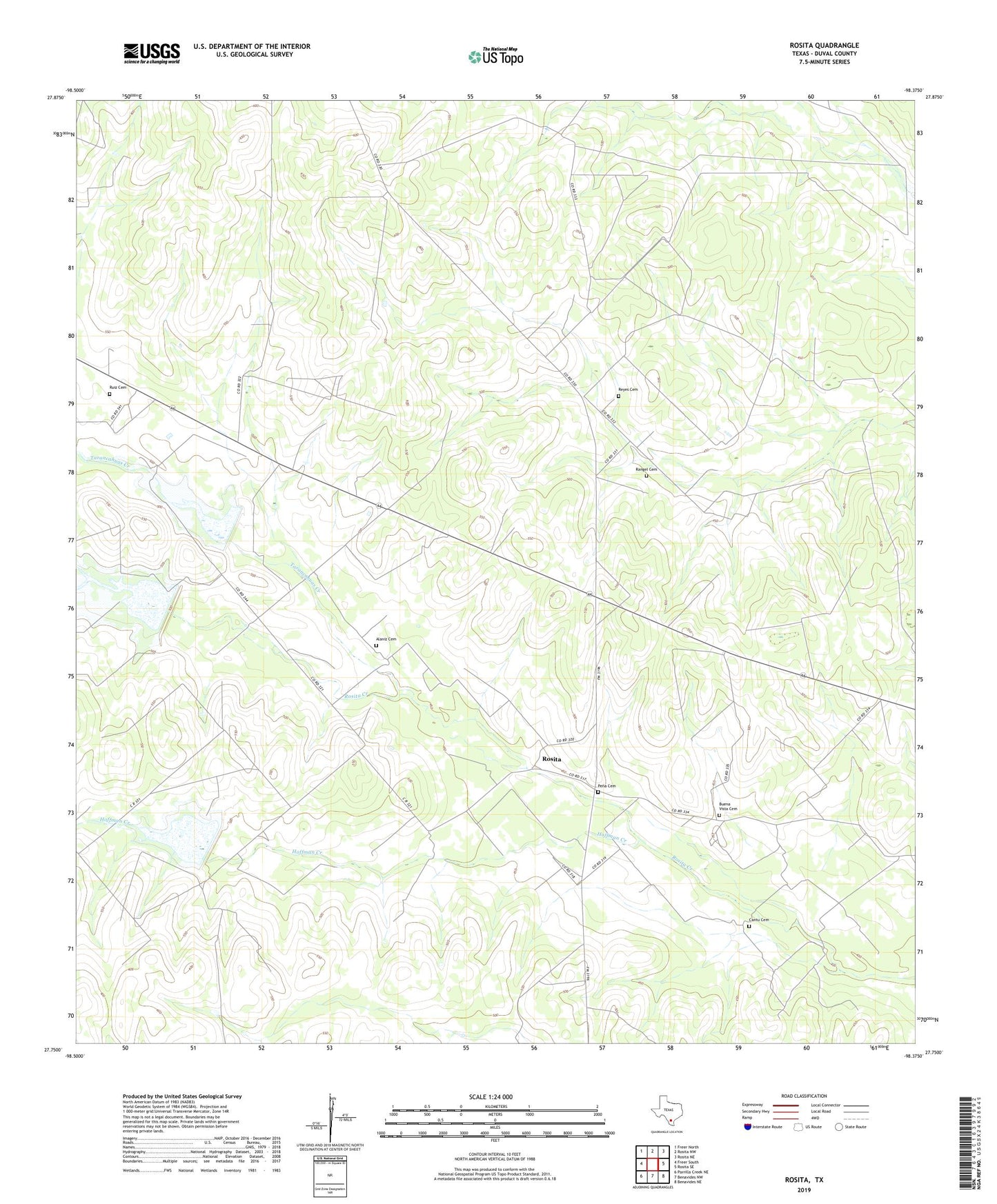
2022 topographic map quadrangle Rosita in the state of Texas. Scale: 1:24000. Based on the newly updated USGS 7.5' US Topo map series, this map is in the following counties: Duval. The map contains contour data, water features, and other items you are used to seeing on USGS maps, but also has updated roads and other features. This is the next generation of topographic maps. Printed on high-quality waterproof paper with UV fade-resistant inks.
Quads adjacent to this one:
West: Freer South
Northwest: Freer North
North: Rosita NW
Northeast: Rosita NE
East: Rosita SE
Southeast: Benavides NE
South: Benavides NW
Southwest: Parrilla Creek NE
This map covers the same area as the classic USGS quad with code o27098g4.
Contains the following named places: Alaniz Cemetery, Buena Vista Cemetery, Cantu Cemetery, Hoffman Creek, Llano Windmill, Pena Cemetery, Pila Blanca, Pila Blanca Cemetery, Rangel Cemetery, Rangel School, Reyes, Reyes Cemetery, Rosita, Ruiz Cemetery, Soil Conservation Service Site 10 Dam, Soil Conservation Service Site 10 Reservoir, Soil Conservation Service Site 11 Dam, Soil Conservation Service Site 11 Reservoir, Soil Conservation Service Site 8 Dam, Soil Conservation Service Site 8 Reservoir, Tarancahuas Creek, Valerio Cemetery, ZIP Code: 78384