MyTopo
Garden City Texas US Topo Map
Couldn't load pickup availability
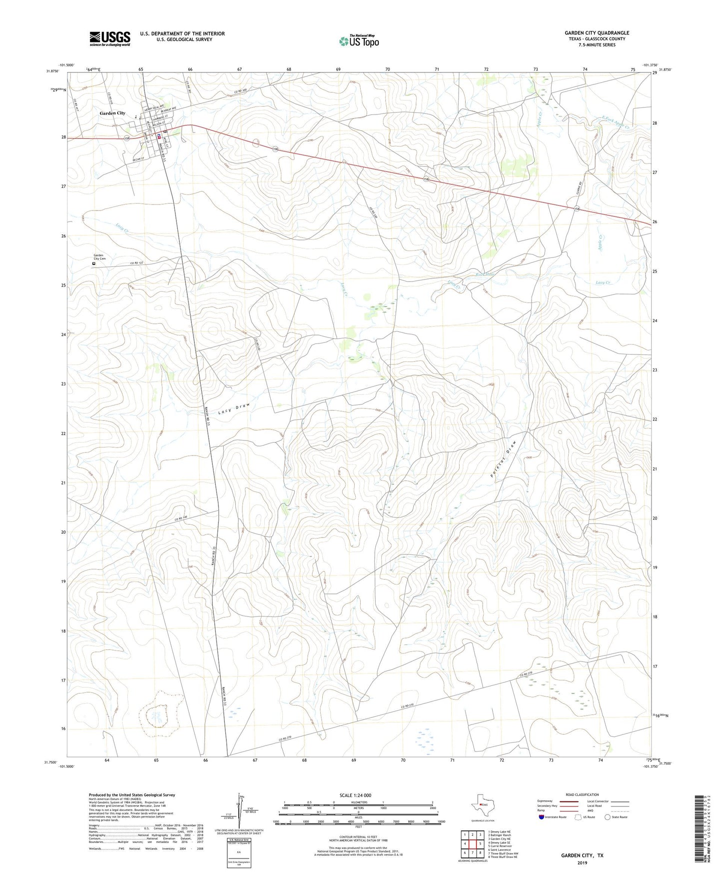
2022 topographic map quadrangle Garden City in the state of Texas. Scale: 1:24000. Based on the newly updated USGS 7.5' US Topo map series, this map is in the following counties: Glasscock. The map contains contour data, water features, and other items you are used to seeing on USGS maps, but also has updated roads and other features. This is the next generation of topographic maps. Printed on high-quality waterproof paper with UV fade-resistant inks.
Quads adjacent to this one:
West: Dewey Lake SE
Northwest: Dewey Lake NE
North: Ballinger Ranch
Northeast: Garden City NE
East: Currie Reservoir
Southeast: Three Bluff Draw NE
South: Three Bluff Draw NW
Southwest: Saint Lawrence
This map covers the same area as the classic USGS quad with code o31101g4.
Contains the following named places: Apple Creek, Cox Ranch, Currie Ranch, East Fork Apple Creek, Garden City, Garden City Cemetery, Garden City Census Designated Place, Garden City Post Office, Glasscock County Sheriff's Office, Glasscock County Volunteer Fire Department, Lacy Draw, Polecat Draw, Polecat Windmill, Rock Hole, Wilkerson Ranch