MyTopo
Girvin Texas US Topo Map
Couldn't load pickup availability
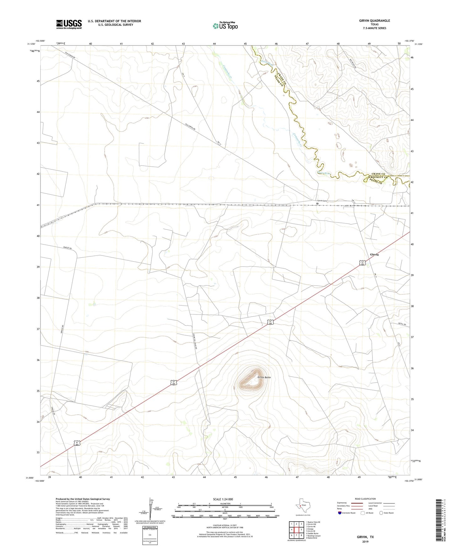
2022 topographic map quadrangle Girvin in the state of Texas. Scale: 1:24000. Based on the newly updated USGS 7.5' US Topo map series, this map is in the following counties: Pecos, Crane, Crockett. The map contains contour data, water features, and other items you are used to seeing on USGS maps, but also has updated roads and other features. This is the next generation of topographic maps. Printed on high-quality waterproof paper with UV fade-resistant inks.
Quads adjacent to this one:
West: Owego
Northwest: Buena Vista NE
North: Girvin NW
Northeast: Girvin NE
East: Girvin SE
Southeast: Bakersfield
South: Bootleg Canyon
Southwest: Saddle Butte
This map covers the same area as the classic USGS quad with code o31102a4.
Contains the following named places: Brown and Thorp Oil Field, Comanche Creek, Girvin, Girvin Butte, Girvin Cemetery, Girvin Emitter Site, Helmers Ranch, Wentz Oil and Gas Field