MyTopo
Kirby Lake NE Texas US Topo Map
Couldn't load pickup availability
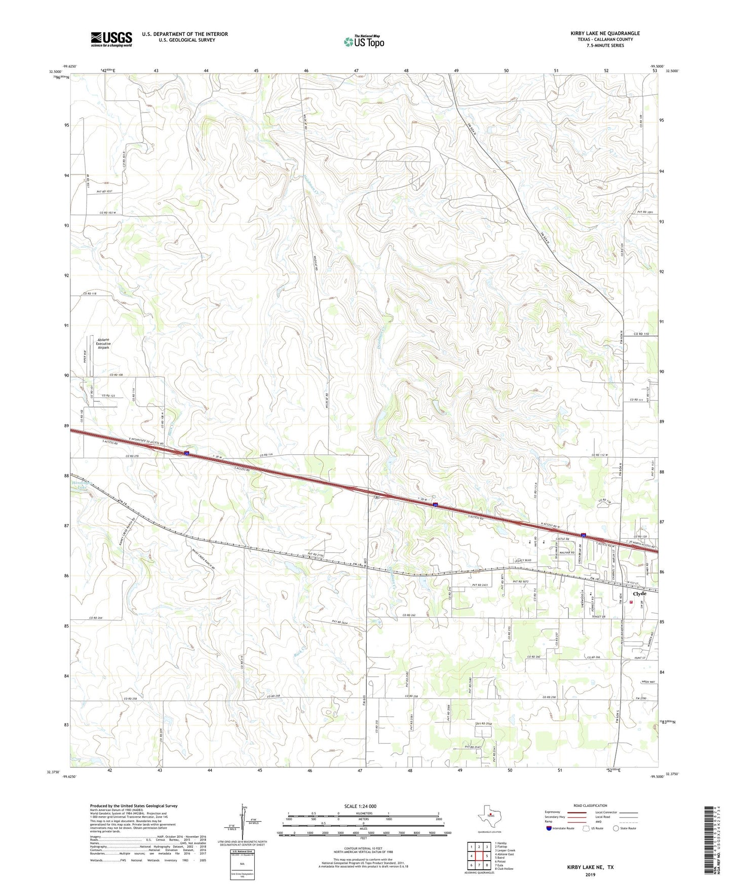
2022 topographic map quadrangle Kirby Lake NE in the state of Texas. Scale: 1:24000. Based on the newly updated USGS 7.5' US Topo map series, this map is in the following counties: Callahan. The map contains contour data, water features, and other items you are used to seeing on USGS maps, but also has updated roads and other features. This is the next generation of topographic maps. Printed on high-quality waterproof paper with UV fade-resistant inks.
Quads adjacent to this one:
West: Abilene East
Northwest: Hamby
North: Flattop
Northeast: Leeper Creek
East: Baird
Southeast: Club Hollow
South: Eula
Southwest: Potosi
This map covers the same area as the classic USGS quad with code o32099d5.
Contains the following named places: Abilene Executive Airpark, Bulldog Stadium, City of Clyde, Clyde Volunteer Fire Department, Elmdale Oil Field, Saint Patrick Oil Field, Three Aces Oil Field