MyTopo
Kleberg Point Texas US Topo Map
Couldn't load pickup availability
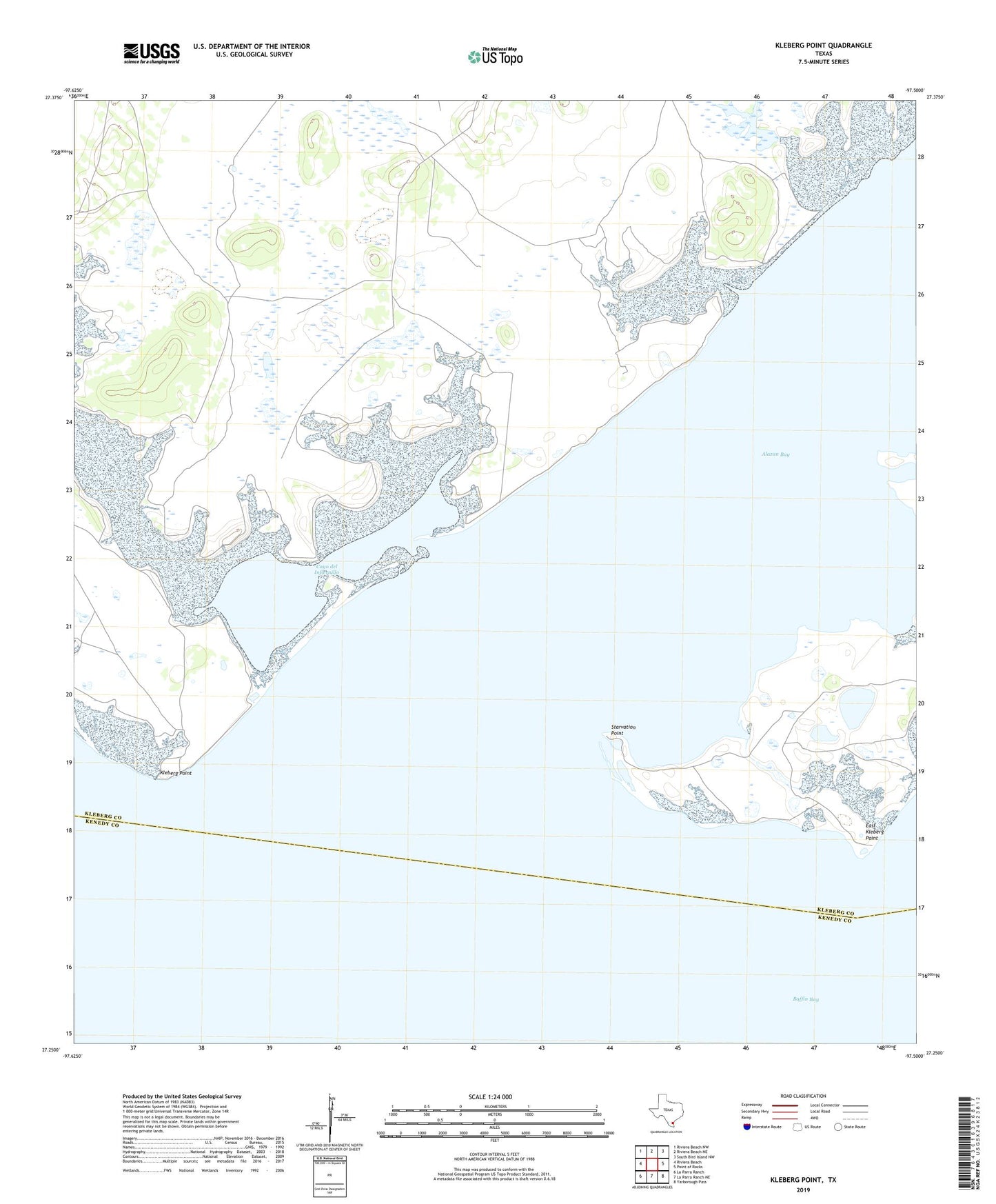
2019 topographic map quadrangle Kleberg Point in the state of Texas. Scale: 1:24000. Based on the newly updated USGS 7.5' US Topo map series, this map is in the following counties: Kleberg, Kenedy. The map contains contour data, water features, and other items you are used to seeing on USGS maps, but also has updated roads and other features. This is the next generation of topographic maps. Printed on high-quality waterproof paper with UV fade-resistant inks.
Quads adjacent to this one:
West: Riviera Beach
Northwest: Riviera Beach NW
North: Riviera Beach NE
Northeast: South Bird Island NW
East: Point of Rocks
Southeast: Yarborough Pass
South: La Parra Ranch NE
Southwest: La Parra Ranch
Contains the following named places: Aceitera Artesian Well, Alazan Bay, Baffin Bay, Camiseta Artesian Well, Cayo del Infiernillo, Comitas Lake, East Kleberg Point, Infiernillo Artesian Well, Kleberg Point, Starvation Point, Tiburcio Artesian Well, Viboras Well