MyTopo
Yarborough Pass Texas US Topo Map
Couldn't load pickup availability
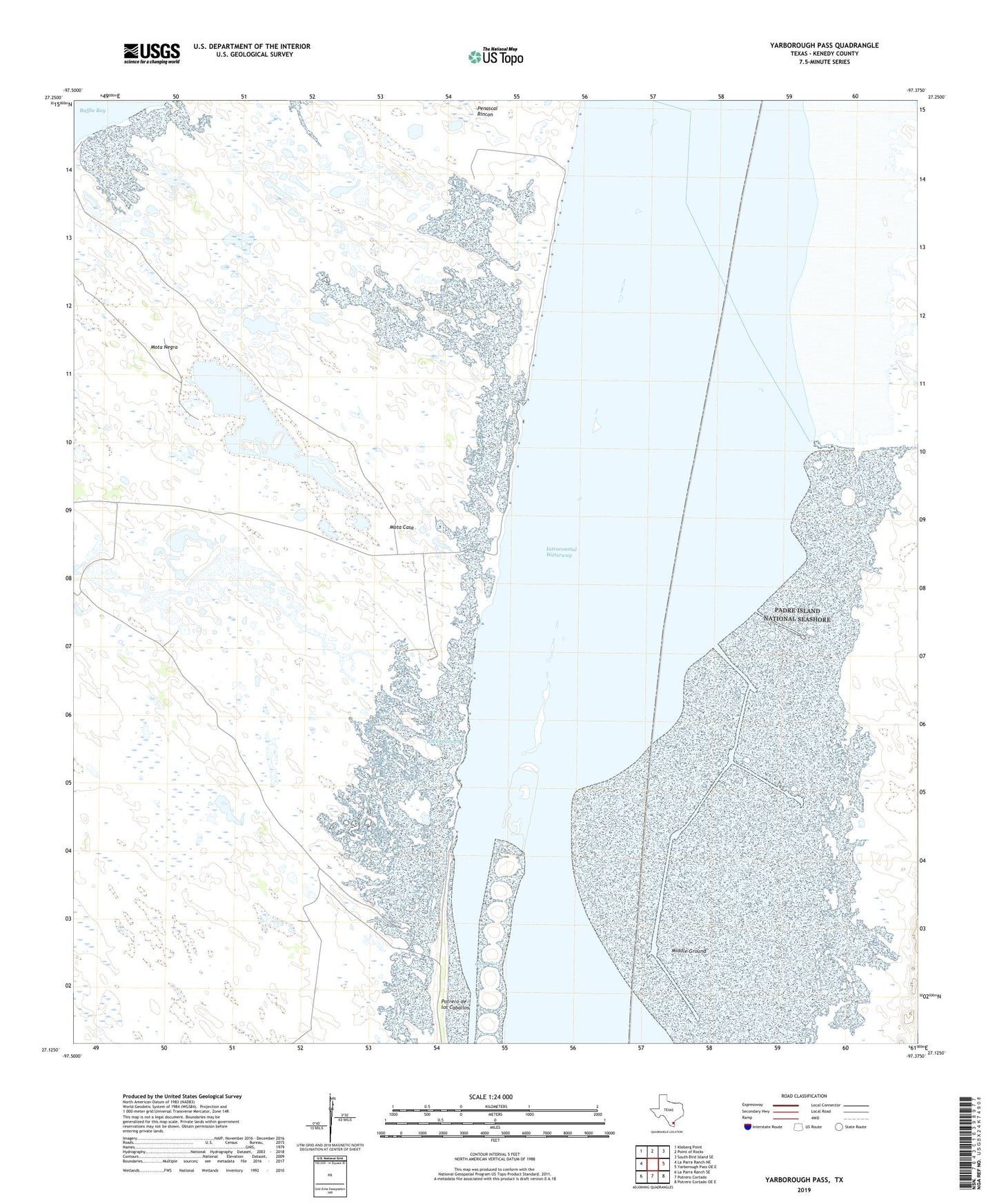
2022 topographic map quadrangle Yarborough Pass in the state of Texas. Scale: 1:24000. Based on the newly updated USGS 7.5' US Topo map series, this map is in the following counties: Kenedy. The map contains contour data, water features, and other items you are used to seeing on USGS maps, but also has updated roads and other features. This is the next generation of topographic maps. Printed on high-quality waterproof paper with UV fade-resistant inks.
Quads adjacent to this one:
West: La Parra Ranch NE
Northwest: Kleberg Point
North: Point of Rocks
Northeast: South Bird Island SE
East: Yarborough Pass OE E
Southeast: Potrero Cortado OE E
South: Potrero Cortado
Southwest: La Parra Ranch SE
This map covers the same area as the classic USGS quad with code o27097b3.
Contains the following named places: Carnestolendas Artesian Well, Carnestolendas Ranch, Maria Petra Artesian Well, Middle Ground, Mota Casa, Mota Negra, Ojo de Agua Spring, Perez Artesian Well, Picacho Nuevo Artesian Well, Potrero de los Caballos, Richards Artesian Well, Rocky Slough, Yarborough