MyTopo
Kosse West Texas US Topo Map
Couldn't load pickup availability
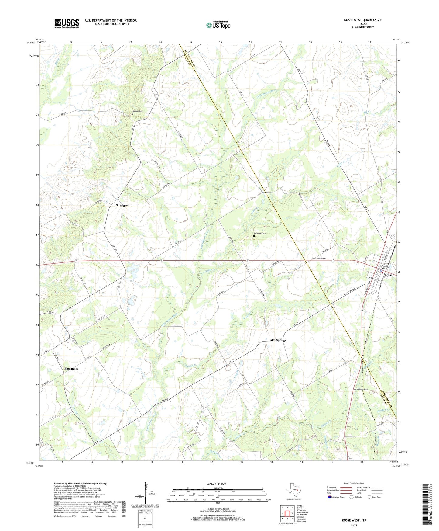
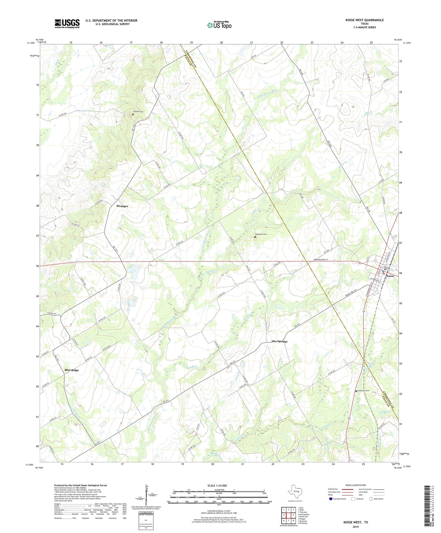
2019 topographic map quadrangle Kosse West in the state of Texas. Scale: 1:24000. Based on the newly updated USGS 7.5' US Topo map series, this map is in the following counties: Falls, Limestone. The map contains contour data, water features, and other items you are used to seeing on USGS maps, but also has updated roads and other features. This is the next generation of topographic maps. Printed on high-quality waterproof paper with UV fade-resistant inks.
Quads adjacent to this one:
West: McClanahan
Northwest: Otto
North: Odds
Northeast: Thornton
East: Kosse East
Southeast: Petteway
South: Bremond
Southwest: Reagan
Contains the following named places: Alto Springs, Antioch Church, Blue Ridge, Buckhorn Creek, Burns Branch, Garrett Cemetery, Hopewell Cemetery, Hopewell Church, Kosse, Kosse City Hall, Kosse Police Department, Kosse Post Office, Kosse Volunteer Fire Department, Long Branch, Mustang, Mustang Branch, New Hope Church, Saint Paul Church, Sandy Creek, Stranger, Sulfur Creek, Town of Kosse, Tucker Creek, Williams Cemetery