
MyTopo
La Parra Ranch NE Texas US Topo Map
Couldn't load pickup availability
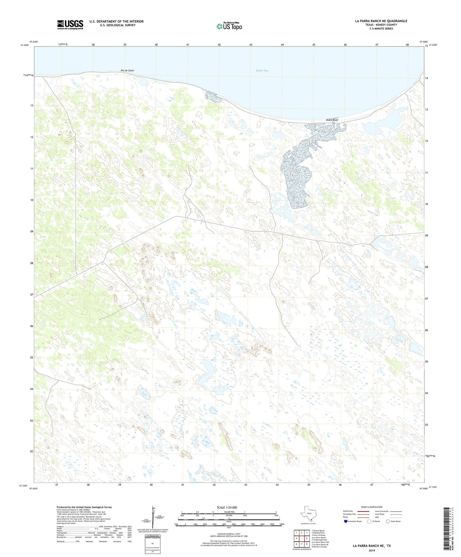
2019 topographic map quadrangle La Parra Ranch NE in the state of Texas. Scale: 1:24000. Based on the newly updated USGS 7.5' US Topo map series, this map is in the following counties: Kenedy. The map contains contour data, water features, and other items you are used to seeing on USGS maps, but also has updated roads and other features. This is the next generation of topographic maps. Printed on high-quality waterproof paper with UV fade-resistant inks.
Quads adjacent to this one:
West: La Parra Ranch
Northwest: Riviera Beach
North: Kleberg Point
Northeast: Point of Rocks
East: Yarborough Pass
Southeast: Potrero Cortado
South: La Parra Ranch SE
Southwest: La Parra Ranch SW
Contains the following named places: Black Bluff, Caso Artesian Well, Diablo Artesian Well, Huero Artesian Well, Los Corrallos, Mota Negra Artesian Well, Pamoranas Artesian Well, Parrita Well, Pasadizo Artesian Well, Pie de Gallo, Santiago Artesian Well, Tio Chon Well


