MyTopo
La Parra Ranch SE Texas US Topo Map
Couldn't load pickup availability
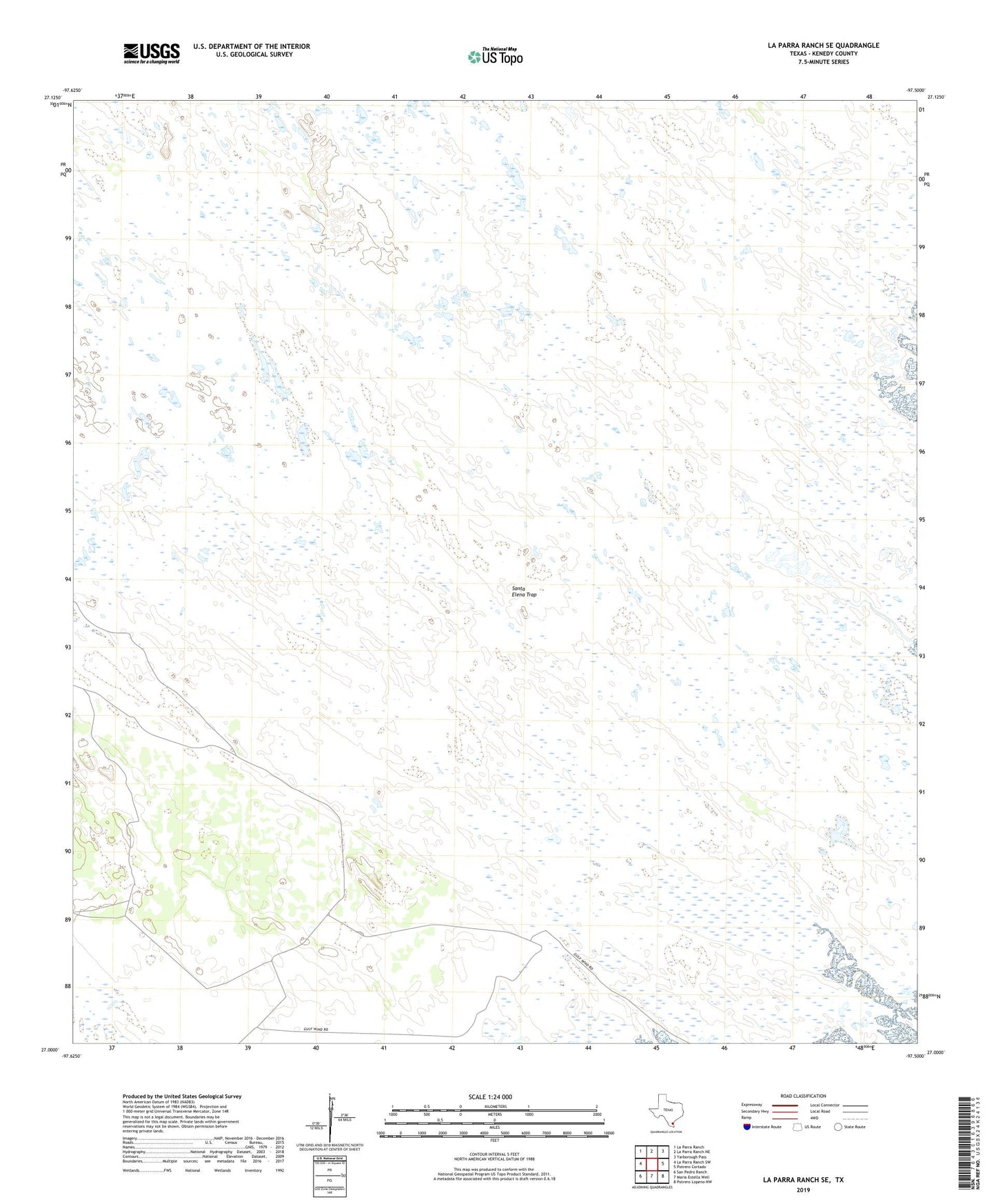
2022 topographic map quadrangle La Parra Ranch SE in the state of Texas. Scale: 1:24000. Based on the newly updated USGS 7.5' US Topo map series, this map is in the following counties: Kenedy. The map contains contour data, water features, and other items you are used to seeing on USGS maps, but also has updated roads and other features. This is the next generation of topographic maps. Printed on high-quality waterproof paper with UV fade-resistant inks.
Quads adjacent to this one:
West: La Parra Ranch SW
Northwest: La Parra Ranch
North: La Parra Ranch NE
Northeast: Yarborough Pass
East: Potrero Cortado
Southeast: Potrero Lopeno NW
South: Maria Estella Well
Southwest: San Pedro Ranch
This map covers the same area as the classic USGS quad with code o27097a5.
Contains the following named places: Agua Negra Artesian Well, Agujon Well, Chaparral Windmill, El Chico Ron Artesian Well, El Reparo Artesian Well, Escribano Artesian Well, Los Indios Ranch, Los Indios Well, Mestena Artesian Well, Nopal Well, Noria de la Compania Well, Palmito Well, Ramirez Artesian Well, San Juan Artesian Well, Santa Elena Artesian Well, Santa Elena Trap, Sarita Artesian Well