MyTopo
Lazy X Ranch Texas US Topo Map
Couldn't load pickup availability
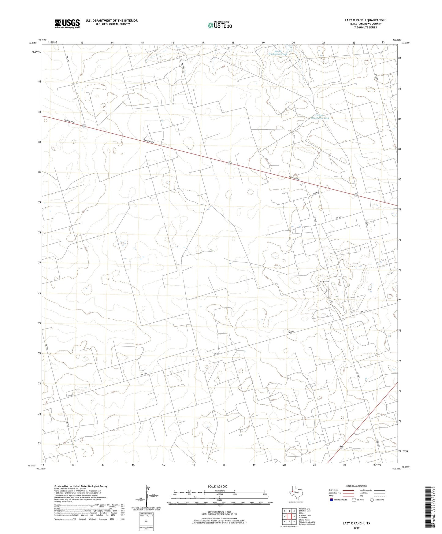
2022 topographic map quadrangle Lazy X Ranch in the state of Texas. Scale: 1:24000. Based on the newly updated USGS 7.5' US Topo map series, this map is in the following counties: Andrews. The map contains contour data, water features, and other items you are used to seeing on USGS maps, but also has updated roads and other features. This is the next generation of topographic maps. Printed on high-quality waterproof paper with UV fade-resistant inks.
Quads adjacent to this one:
West: Whalen Lake
Northwest: Frankel City
North: Shafter Lake
Northeast: Florey
East: Andrews
Southeast: Clabber Hill Ranch
South: North Cowden NW
Southwest: Sand Ranch
This map covers the same area as the classic USGS quad with code o32102c6.
Contains the following named places: Andrews County, Andrews North Division, Cement Pocket Well, Deep Rock Oil Field, Lazy X Ranch, Little Hackberry Tank, Lucky Strike Well, Mascho Oil Field, North Cement Well, North Hackberry Tank, Shafter Lake Gas Field, Shafter Lake Oil Field, South Cement Well, Tripie Horn Well, West Well, ZIP Code: 79714