MyTopo
Clabber Hill Ranch Texas US Topo Map
Couldn't load pickup availability
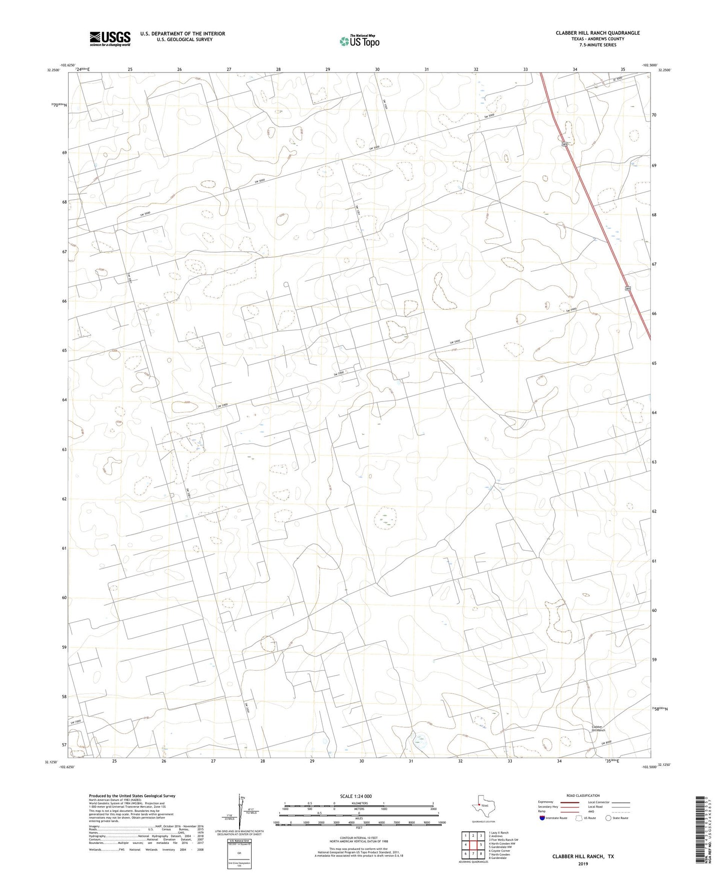
2022 topographic map quadrangle Clabber Hill Ranch in the state of Texas. Scale: 1:24000. Based on the newly updated USGS 7.5' US Topo map series, this map is in the following counties: Andrews. The map contains contour data, water features, and other items you are used to seeing on USGS maps, but also has updated roads and other features. This is the next generation of topographic maps. Printed on high-quality waterproof paper with UV fade-resistant inks.
Quads adjacent to this one:
West: North Cowden NW
Northwest: Lazy X Ranch
North: Andrews
Northeast: Five Wells Ranch SW
East: Gardendale NW
Southeast: Gardendale
South: North Cowden
Southwest: Coyote Corner
This map covers the same area as the classic USGS quad with code o32102b5.
Contains the following named places: Andrews South Oil Field, Clabber Hill Ranch, Conger Windmill, County Windmill, Emma Oil Field, Jackson Parker Windmill, Old Place Windmills, Rock Tank Windmill, Transom Windmill, West Windmill, Windmill Number Four, Windmill Number Three, Windmill Number Two, Wolf Windmill