MyTopo
Lockney SE Texas US Topo Map
Couldn't load pickup availability
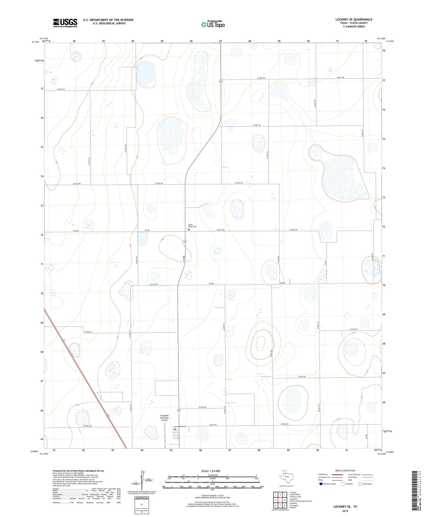
2022 topographic map quadrangle Lockney SE in the state of Texas. Scale: 1:24000. Based on the newly updated USGS 7.5' US Topo map series, this map is in the following counties: Floyd. The map contains contour data, water features, and other items you are used to seeing on USGS maps, but also has updated roads and other features. This is the next generation of topographic maps. Printed on high-quality waterproof paper with UV fade-resistant inks.
Quads adjacent to this one:
West: Lockney
Northwest: Sterley
North: South Plains
Northeast: Wilson Creek
East: West of Dick Moore Canyon
Southeast: Boothe
South: Floydada
Southwest: Sandhill
This map covers the same area as the classic USGS quad with code o34101a3.
Contains the following named places: County Memorial Park, Della Plain Cemetery, Floyd County, Floydada Cemetery, Floydada Municipal Airport