MyTopo
McKegan Draw NE Texas US Topo Map
Couldn't load pickup availability
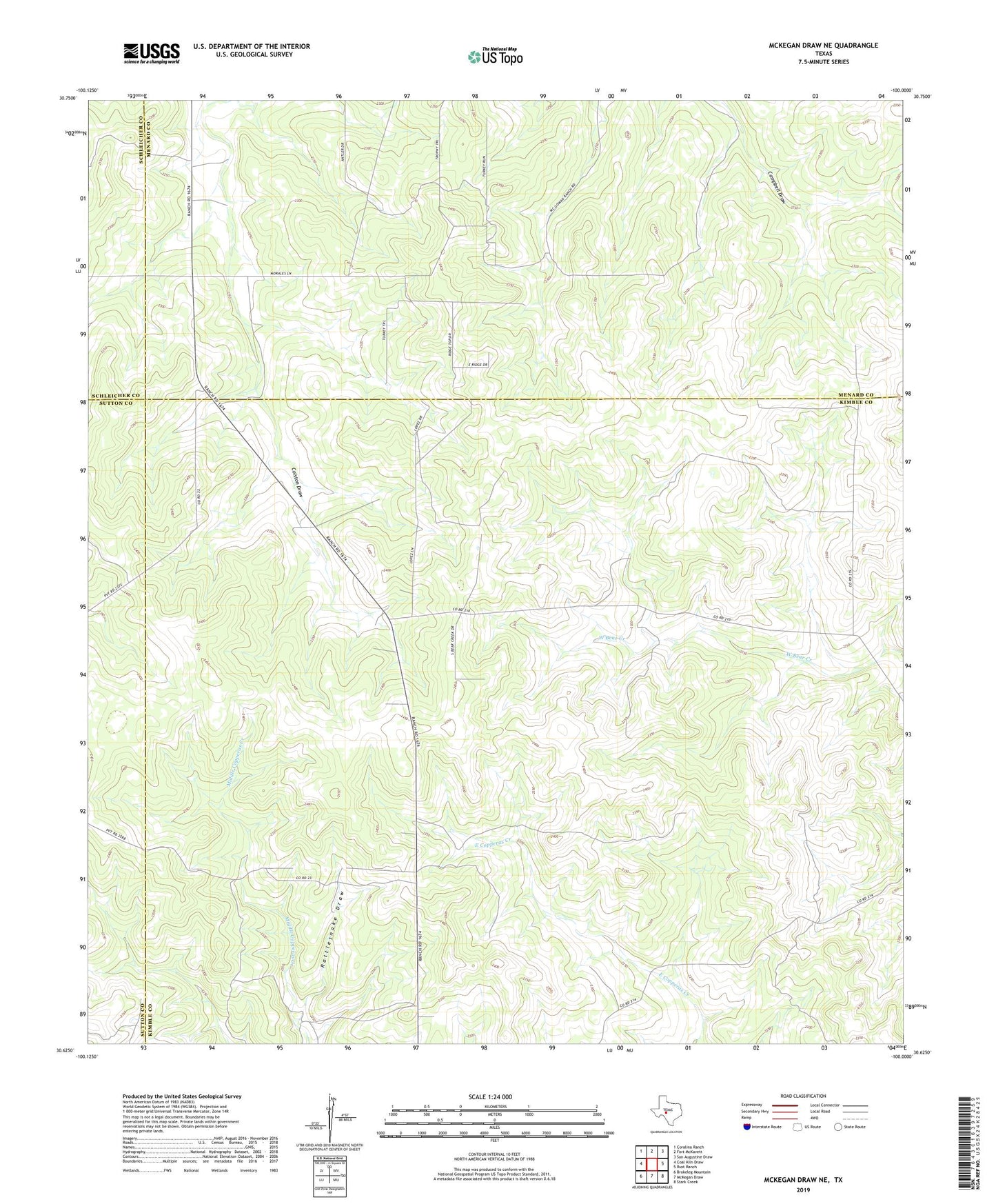
2022 topographic map quadrangle McKegan Draw NE in the state of Texas. Scale: 1:24000. Based on the newly updated USGS 7.5' US Topo map series, this map is in the following counties: Kimble, Menard, Sutton, Schleicher. The map contains contour data, water features, and other items you are used to seeing on USGS maps, but also has updated roads and other features. This is the next generation of topographic maps. Printed on high-quality waterproof paper with UV fade-resistant inks.
Quads adjacent to this one:
West: Coal Kiln Draw
Northwest: Coralina Ranch
North: Fort McKavett
Northeast: San Augustine Draw
East: Rust Ranch
Southeast: Stark Creek
South: McKegan Draw
Southwest: Brokeleg Mountain
This map covers the same area as the classic USGS quad with code o30100f1.
Contains the following named places: A Murr Ranch, Dutton Ranch, Graham Ranch, Holland Ranch, J D Murr Ranch, Johnston Ranch, Lehne Ranch, Lopez Ranch, Lopez Ranch Airport, Morales Ranch, Murr Church, Rattlesnake Draw