MyTopo
McMillan Mountains Texas US Topo Map
Couldn't load pickup availability
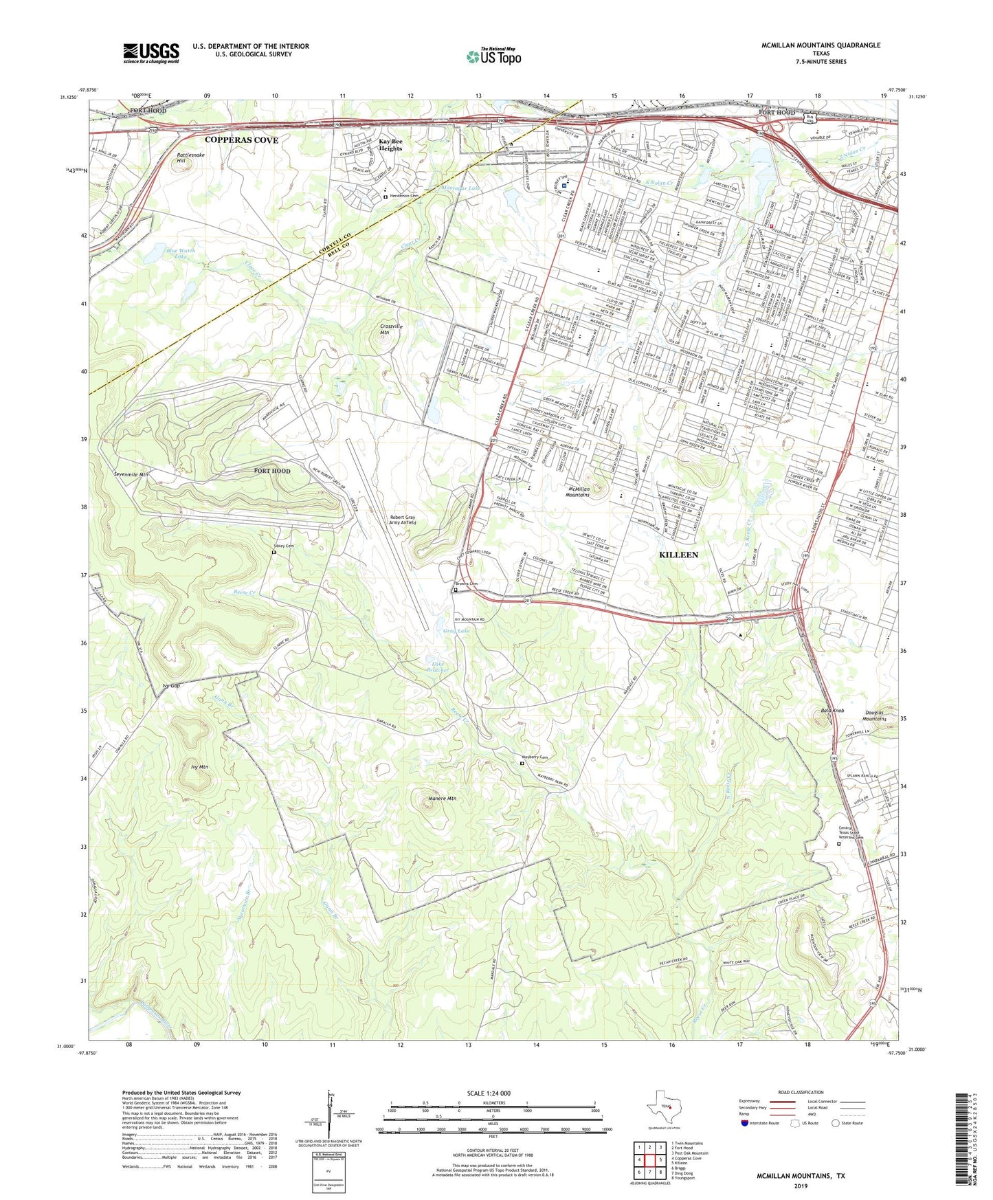
2022 topographic map quadrangle McMillan Mountains in the state of Texas. Scale: 1:24000. Based on the newly updated USGS 7.5' US Topo map series, this map is in the following counties: Bell, Coryell. The map contains contour data, water features, and other items you are used to seeing on USGS maps, but also has updated roads and other features. This is the next generation of topographic maps. Printed on high-quality waterproof paper with UV fade-resistant inks.
Quads adjacent to this one:
West: Copperas Cove
Northwest: Twin Mountains
North: Fort Hood
Northeast: Post Oak Mountain
East: Killeen
Southeast: Youngsport
South: Ding Dong
Southwest: Briggs
This map covers the same area as the classic USGS quad with code o31097a7.
Contains the following named places: American Educational Complex, Bald Knob, Blue Watch Lake, Blue Watch Lake Dam, Browns Cemetery, Calvary Church, Camp Moonraker, Cedar Crest Alternative School, Central Texas State Veterans Cemetery, Clear Creek Elementary School, Clear Creek Park, Copperas Cove Saddle Club, Crossville Mountain, Doctor Joseph A Fowler Elementary School, Ellison Ninth Grade Center, Finlayson Youth Camp, Gray Lake, Henderson Cemetery, Ivy Gap, Ivy Mountain, Kay Bee Heights, Killeen Air Force Station, Killeen Fire Department Station 7, KLFX-FM (Harker Heights), Lake Bratcher, Manere Mountain, Mayberry Cemetery, McMillan Mountains, Metroplex Behavioral Health Center, Metroplex Hospital, Montague Lake, Montague Lake Dam, Montague Village, Mountain View Estates, Mussie Lake, North Reese Creek, Pathways Academic Campus, Pershing Park Elementary School, Rattlesnake Hill, Reeces Creek Elementary School, Robert Gray Army Airfield, Sevenmile Mountain, Sibley Cemetery, Soil Conservation Service Site 1 Dam, Soil Conservation Service Site 1 Reservoir, Sugar Loaf Elementary School, Westside Baptist Church, Willow Springs Community Center, Willow Springs Elementary School, Willow Springs Post Office, ZIP Code: 76549


