MyTopo
Mentone Texas US Topo Map
Couldn't load pickup availability
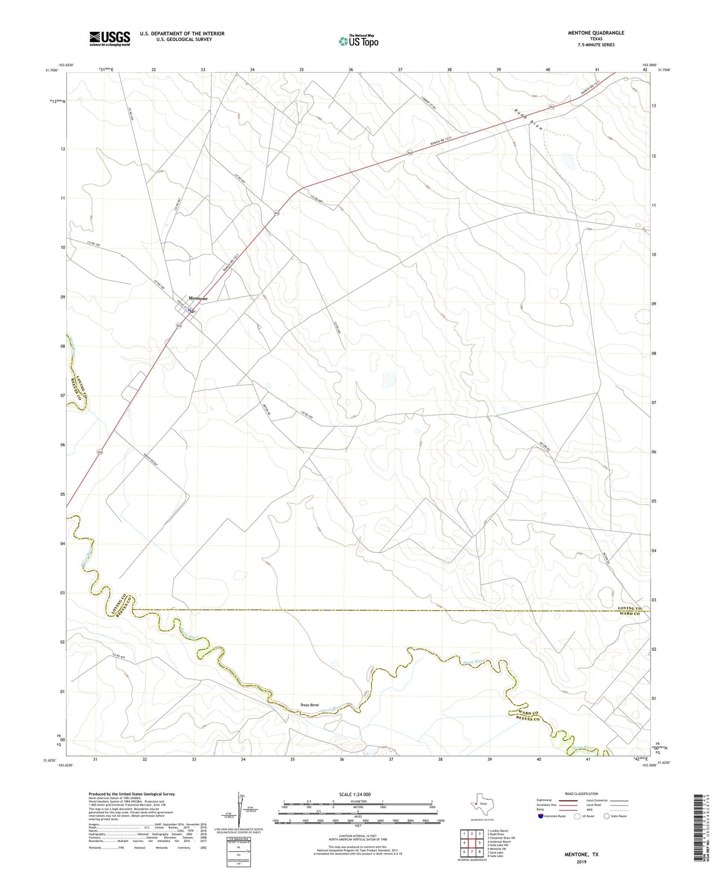
2022 topographic map quadrangle Mentone in the state of Texas. Scale: 1:24000. Based on the newly updated USGS 7.5' US Topo map series, this map is in the following counties: Loving, Reeves, Ward. The map contains contour data, water features, and other items you are used to seeing on USGS maps, but also has updated roads and other features. This is the next generation of topographic maps. Printed on high-quality waterproof paper with UV fade-resistant inks.
Quads adjacent to this one:
West: Anderson Ranch
Northwest: Lindley Ranch
North: Rudd Draw
Northeast: Cheyenne Draw SW
East: Soda Lake NW
Southeast: Soda Lake
South: Sand Lake
Southwest: Mentone SW
This map covers the same area as the classic USGS quad with code o31103f5.
Contains the following named places: Goodrich Ranch, High Lonesome Well, Loving County Jail, Loving County Sheriff's Office, Mentone, Mentone Census Designated Place, Mentone Post Office, Moorehead Ranch, Porterville Pumping Station, Rudd Draw, Texas Bend, Wheat Oil Field, Wheat Ranch