MyTopo
Molesworth Mesa North Texas US Topo Map
Couldn't load pickup availability
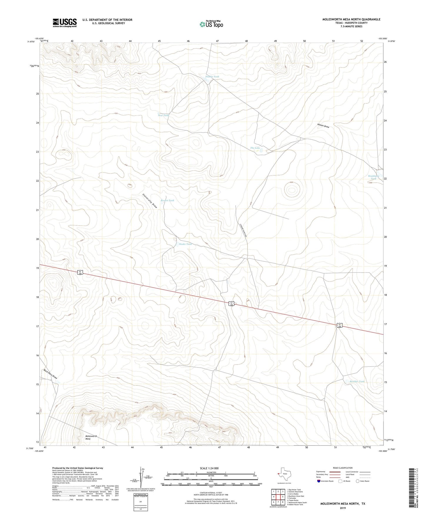
2022 topographic map quadrangle Molesworth Mesa North in the state of Texas. Scale: 1:24000. Based on the newly updated USGS 7.5' US Topo map series, this map is in the following counties: Hudspeth. The map contains contour data, water features, and other items you are used to seeing on USGS maps, but also has updated roads and other features. This is the next generation of topographic maps. Printed on high-quality waterproof paper with UV fade-resistant inks.
Quads adjacent to this one:
West: Buckhorn Draw East
Northwest: Big Heiser Tank
North: Sixteen Mountains
Northeast: Cerro Diablo
East: Cornudas
Southeast: Adobe House Tank
South: Molesworth Mesa South
Southwest: Tepee Butte
This map covers the same area as the classic USGS quad with code o31105g5.
Contains the following named places: Boulder Tank, Brown Tank, Buck Horn Draw, Buckhorn Draw, Cornudas Ranch, Double Tank, Double U Ranch, Molesworth Mesa, New Tank, Snake Tank, The Lake, Tub Tank, Washburn Tank