MyTopo
Monument Hill Texas US Topo Map
Couldn't load pickup availability
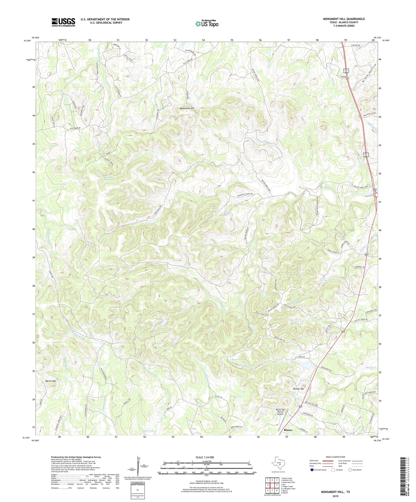
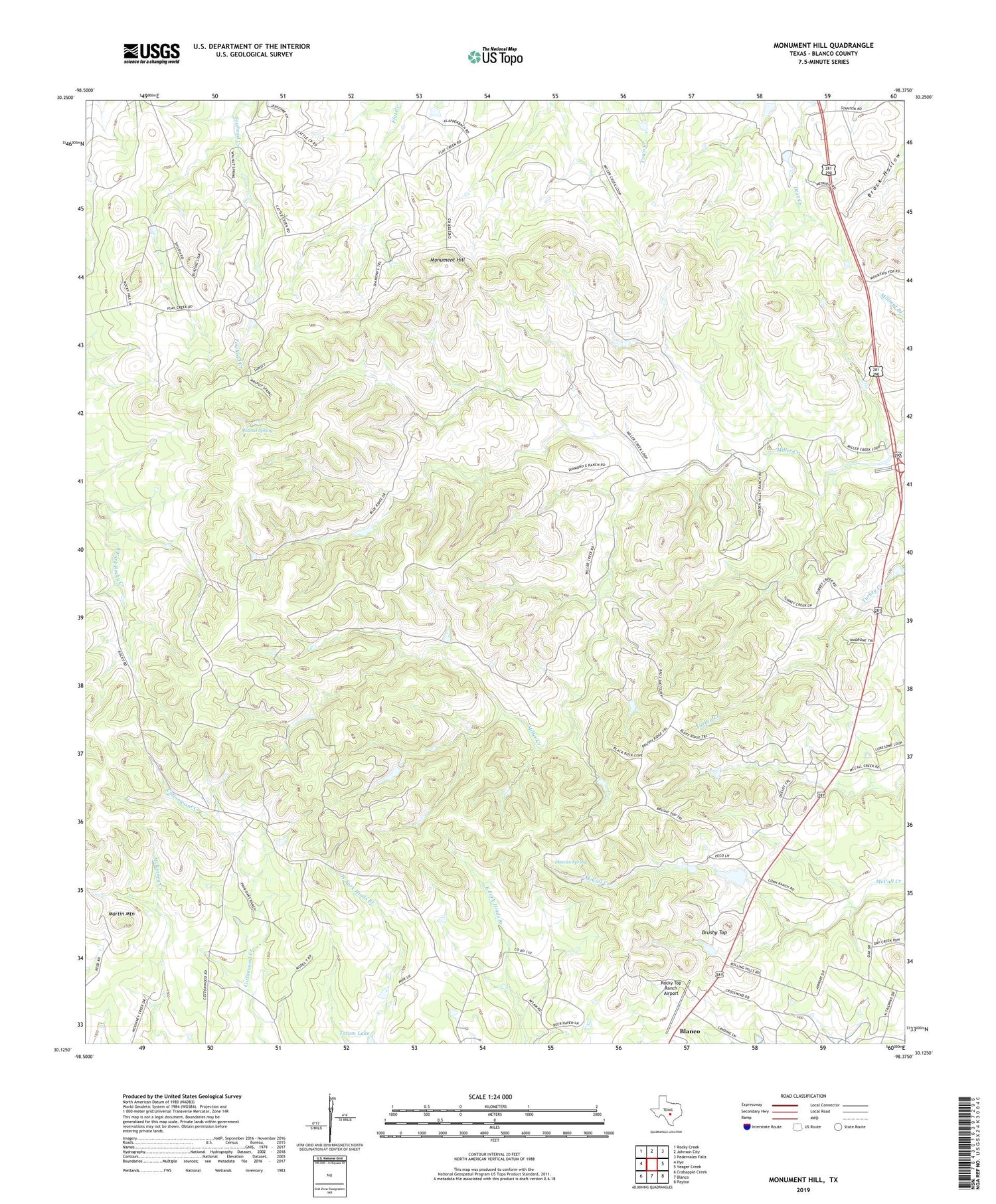
2019 topographic map quadrangle Monument Hill in the state of Texas. Scale: 1:24000. Based on the newly updated USGS 7.5' US Topo map series, this map is in the following counties: Blanco. The map contains contour data, water features, and other items you are used to seeing on USGS maps, but also has updated roads and other features. This is the next generation of topographic maps. Printed on high-quality waterproof paper with UV fade-resistant inks.
Quads adjacent to this one:
West: Hye
Northwest: Rocky Creek
North: Johnson City
Northeast: Pedernales Falls
East: Yeager Creek
Southeast: Payton
South: Blanco
Southwest: Crabapple Creek
Contains the following named places: Bamberger Ranch Airport, Brushy Top, Charlie Thomas Ranch Airport, Duncan Spring, Keller Ranch Airport, Martin Mountain, Monument Hill, Rocky Top Ranch Airport, Tatum Lake Dam, Walnut Spring