MyTopo
Mudge Draw Texas US Topo Map
Couldn't load pickup availability
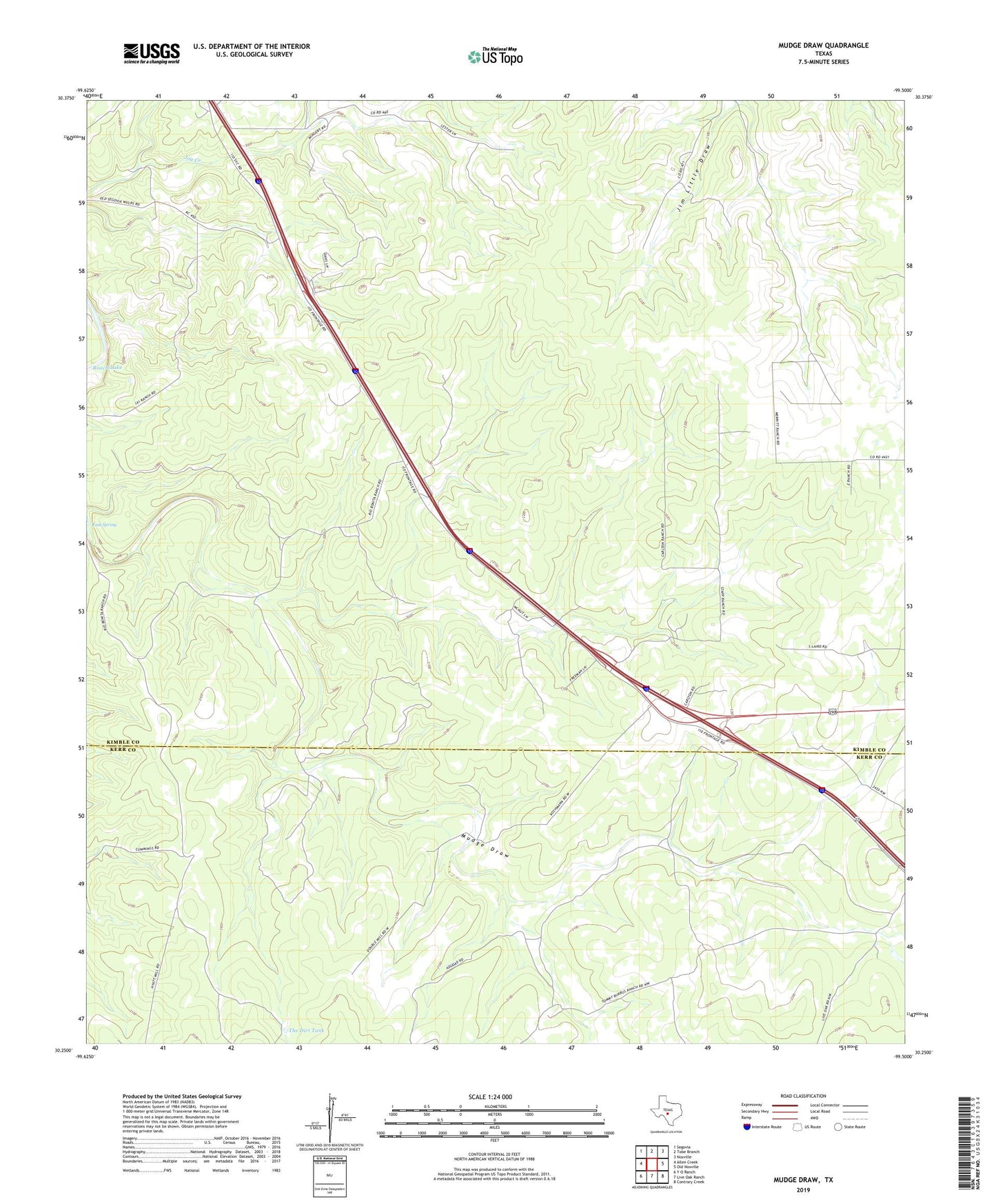
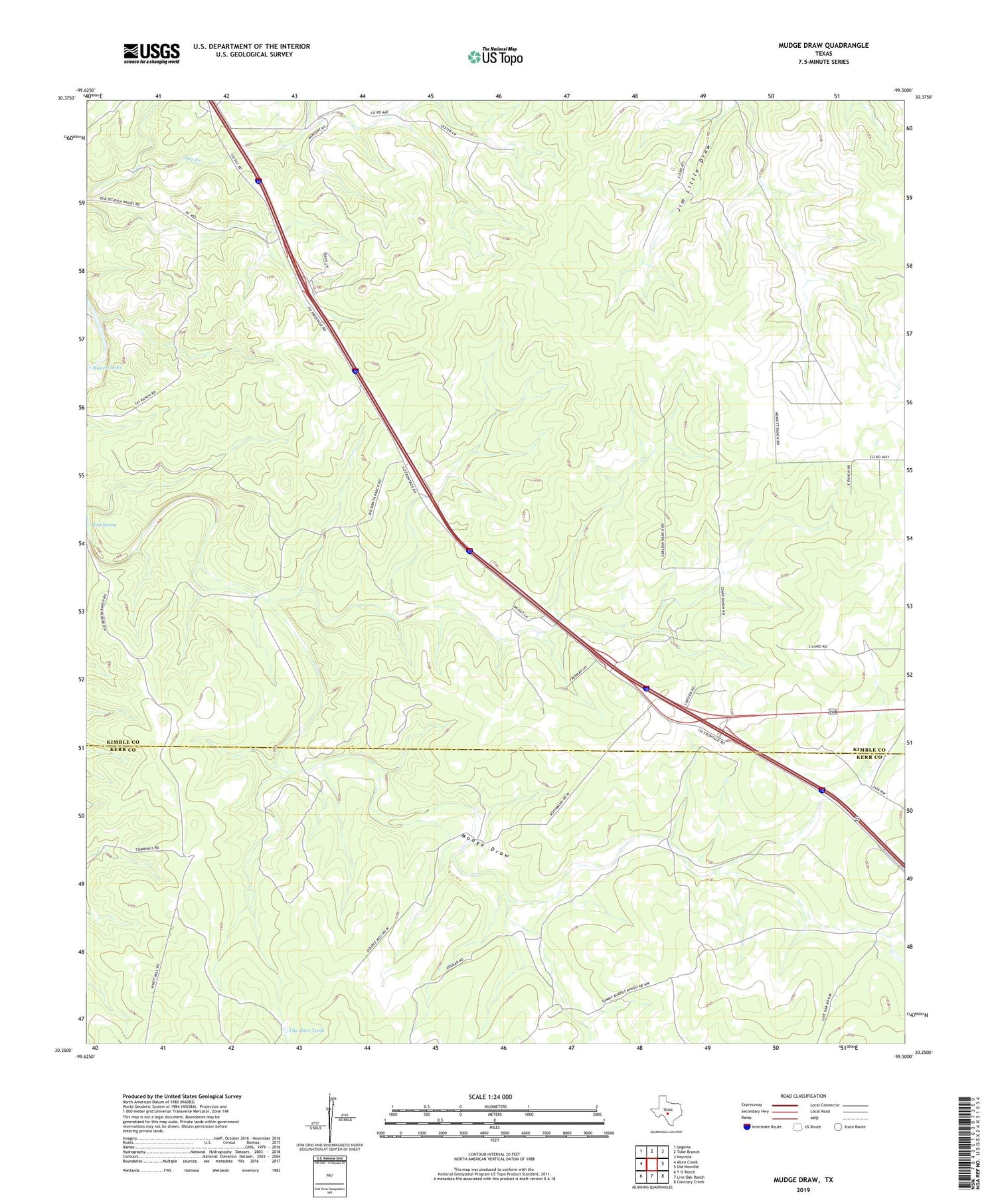
2019 topographic map quadrangle Mudge Draw in the state of Texas. Scale: 1:24000. Based on the newly updated USGS 7.5' US Topo map series, this map is in the following counties: Kimble, Kerr. The map contains contour data, water features, and other items you are used to seeing on USGS maps, but also has updated roads and other features. This is the next generation of topographic maps. Printed on high-quality waterproof paper with UV fade-resistant inks.
Quads adjacent to this one:
West: Allen Creek
Northwest: Segovia
North: Tobe Branch
Northeast: Noxville
East: Old Noxville
Southeast: Contrary Creek
South: Live Oak Ranch
Southwest: Y O Ranch
Contains the following named places: Baldy Windmill, Bierschwale Windmill, Big Windmill, Double Windmill, East Spring, Garrett Windmill, Hegari Windmills, New Windmill, North Well, North Williams Windmill, North Windmill, Rusty Windmill, Shearing Barn Windmill, South Williams Windmill, South Windmill, The Dirt Tank, West Windmill