MyTopo
Murchison East Texas US Topo Map
Couldn't load pickup availability
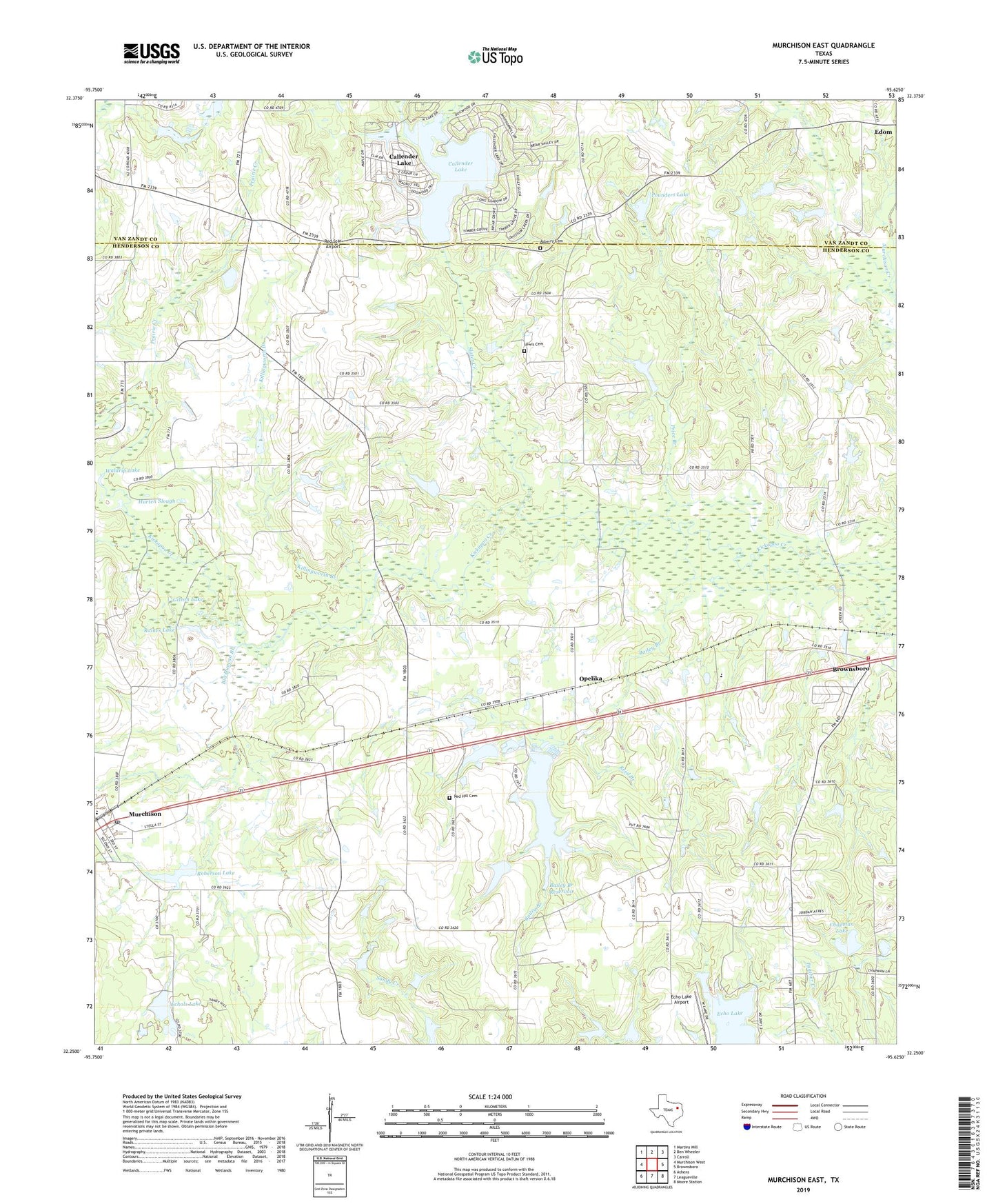
2019 topographic map quadrangle Murchison East in the state of Texas. Scale: 1:24000. Based on the newly updated USGS 7.5' US Topo map series, this map is in the following counties: Henderson, Van Zandt. The map contains contour data, water features, and other items you are used to seeing on USGS maps, but also has updated roads and other features. This is the next generation of topographic maps. Printed on high-quality waterproof paper with UV fade-resistant inks.
Quads adjacent to this one:
West: Murchison West
Northwest: Martins Mill
North: Ben Wheeler
Northeast: Carroll
East: Brownsboro
Southeast: Moore Station
South: Leagueville
Southwest: Athens
Contains the following named places: Arms Lake, Asbury Cemetery, Bailey Branch, Bailey Branch Dam, Bailey Branch Reservoir, Big Duncan Branch, Brownsboro Volunteer Fire Department, Callender Lake, Callender Lake Census Designated Place, Callender Lake Dam, Chapman Lake, Echo Lake, Echo Lake Airport, Echols Lake, Echols Lake Dam, Gileon Lake, Harten Slough, Killingworth Branch, Lewis Cemetery, Mars, Mount Olive Church, Murchison, Murchison Post Office, Opelika, Opelika Gas Field, Pleasant Ridge Church, Pounders Lake, Prairie Creek, Price Branch, Raines Lake, Red Hill Cemetery, Red Star Airport, Reed Branch, Roberson Lake, Roberson Lake Dam, Scott Marsh, Shady Grove Church, Slater Creek, Waldrip Lake, ZIP Code: 75778