MyTopo
New Davy Texas US Topo Map
Couldn't load pickup availability
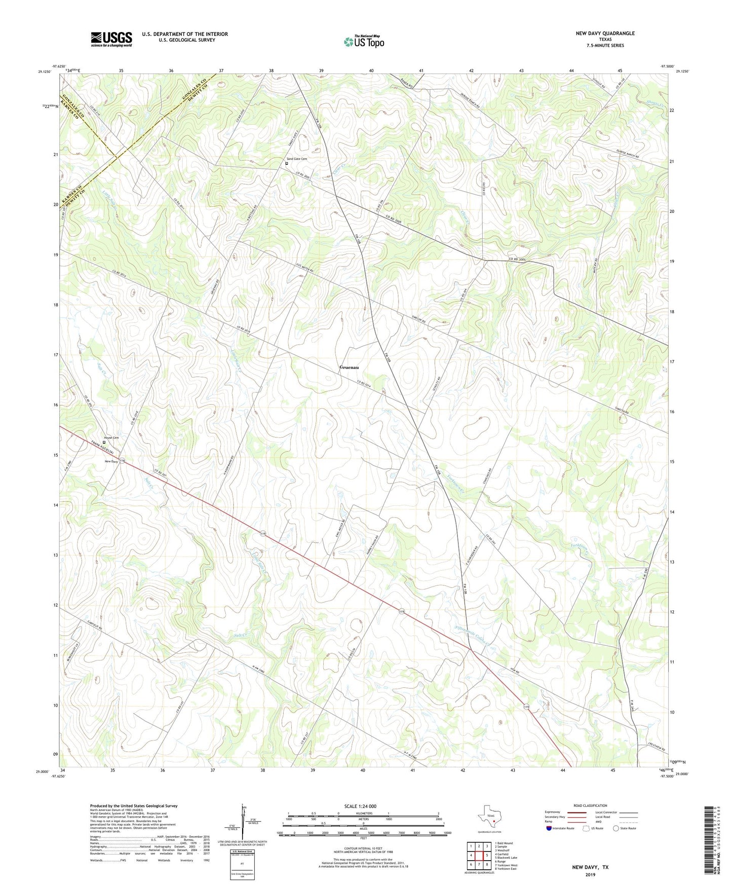
2022 topographic map quadrangle New Davy in the state of Texas. Scale: 1:24000. Based on the newly updated USGS 7.5' US Topo map series, this map is in the following counties: DeWitt, Gonzales, Karnes. The map contains contour data, water features, and other items you are used to seeing on USGS maps, but also has updated roads and other features. This is the next generation of topographic maps. Printed on high-quality waterproof paper with UV fade-resistant inks.
Quads adjacent to this one:
West: Garfield
Northwest: Bald Mound
North: Sample
Northeast: Westhoff
East: Blackwell Lake
Southeast: Yorktown East
South: Yorktown West
Southwest: Runge
This map covers the same area as the classic USGS quad with code o29097a5.
Contains the following named places: Fifteenmile Coleto Creek, Gruenau, House Cemetery, Little Salt Creek, New Davy, Sand Gate Cemetery, Yorktown Historical Museum