MyTopo
New Moore Texas US Topo Map
Couldn't load pickup availability
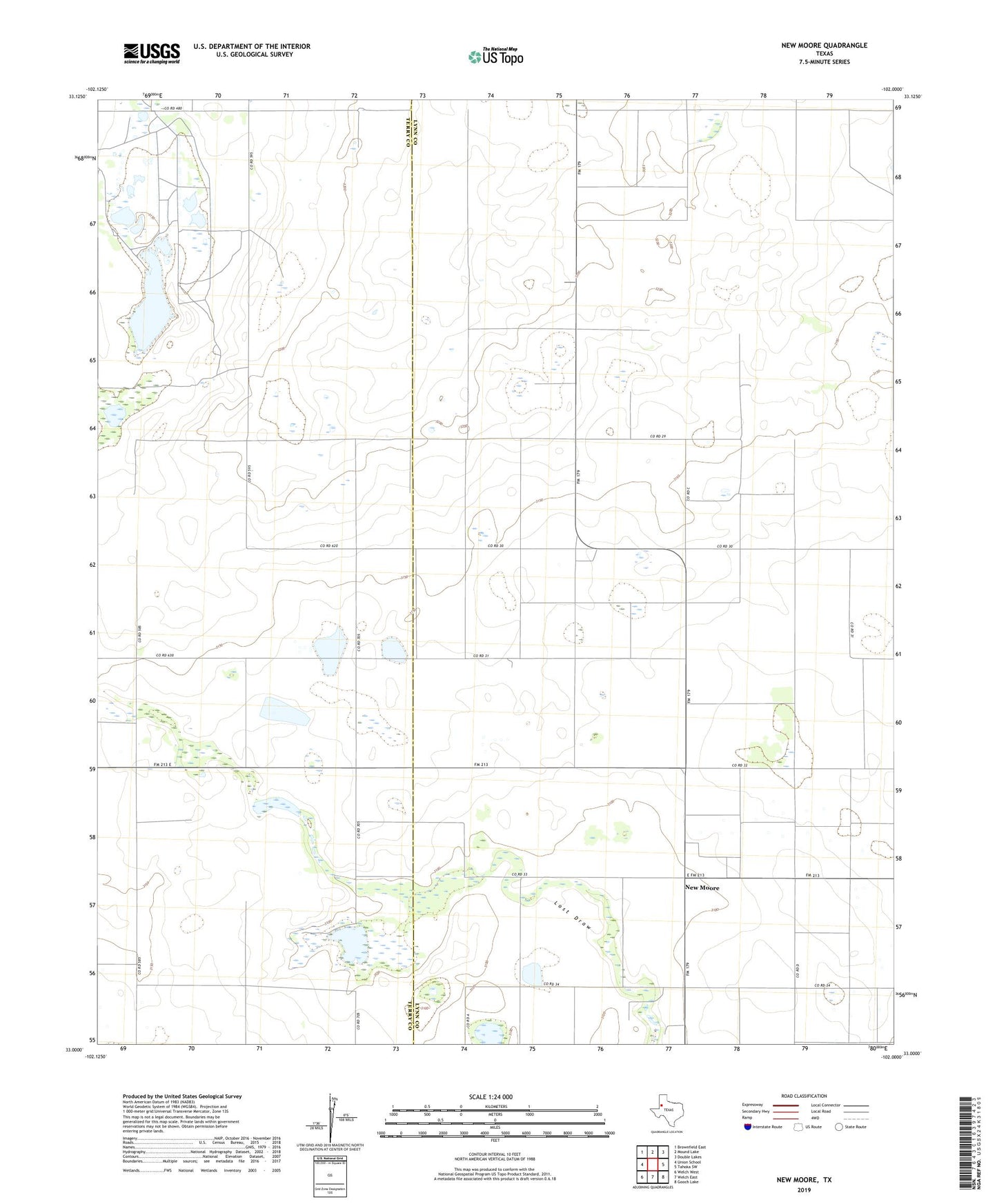
2022 topographic map quadrangle New Moore in the state of Texas. Scale: 1:24000. Based on the newly updated USGS 7.5' US Topo map series, this map is in the following counties: Lynn, Terry. The map contains contour data, water features, and other items you are used to seeing on USGS maps, but also has updated roads and other features. This is the next generation of topographic maps. Printed on high-quality waterproof paper with UV fade-resistant inks.
Quads adjacent to this one:
West: Union School
Northwest: Brownfield East
North: Mound Lake
Northeast: Double Lakes
East: Tahoka SW
Southeast: Gooch Lake
South: Welch East
Southwest: Welch West
This map covers the same area as the classic USGS quad with code o33102a1.
Contains the following named places: Brownfield Lake, Brownfield Lakes, New Moore