MyTopo
North Windmill Texas US Topo Map
Couldn't load pickup availability
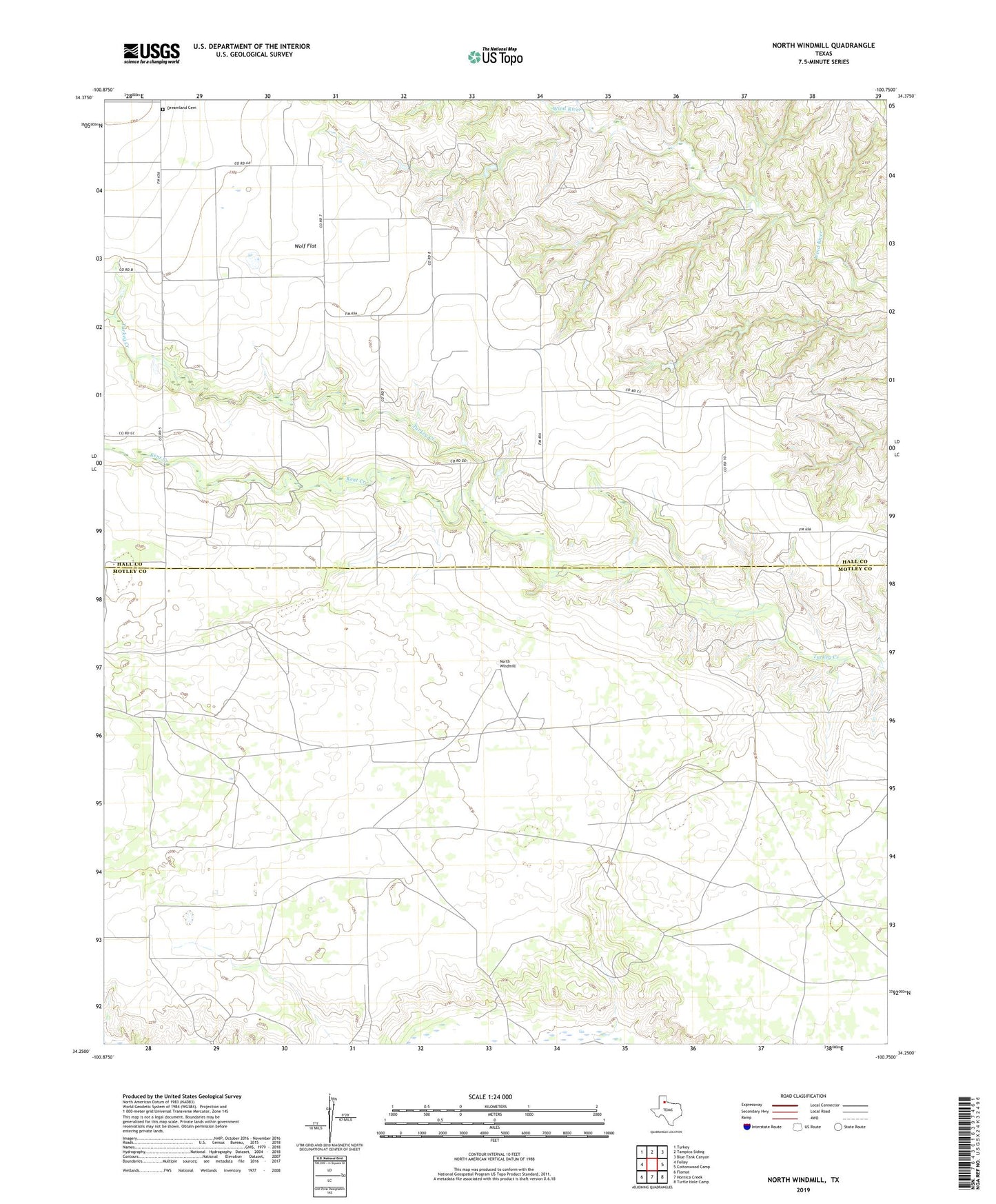
2022 topographic map quadrangle North Windmill in the state of Texas. Scale: 1:24000. Based on the newly updated USGS 7.5' US Topo map series, this map is in the following counties: Motley, Hall. The map contains contour data, water features, and other items you are used to seeing on USGS maps, but also has updated roads and other features. This is the next generation of topographic maps. Printed on high-quality waterproof paper with UV fade-resistant inks.
Quads adjacent to this one:
West: Folley
Northwest: Turkey
North: Tampico Siding
Northeast: Blue Tank Canyon
East: Cottonwood Camp
Southeast: Turtle Hole Camp
South: Hornica Creek
Southwest: Flomot
This map covers the same area as the classic USGS quad with code o34100c7.
Contains the following named places: Barton Windmill, Dogtown Windmill, Dreamland Cemetery, Groves Windmill, Kent Creek, Miller Windmill, New Windmill, North Windmill, Reese Windmill, Wolf Flat