MyTopo
Panhandle West Texas US Topo Map
Couldn't load pickup availability
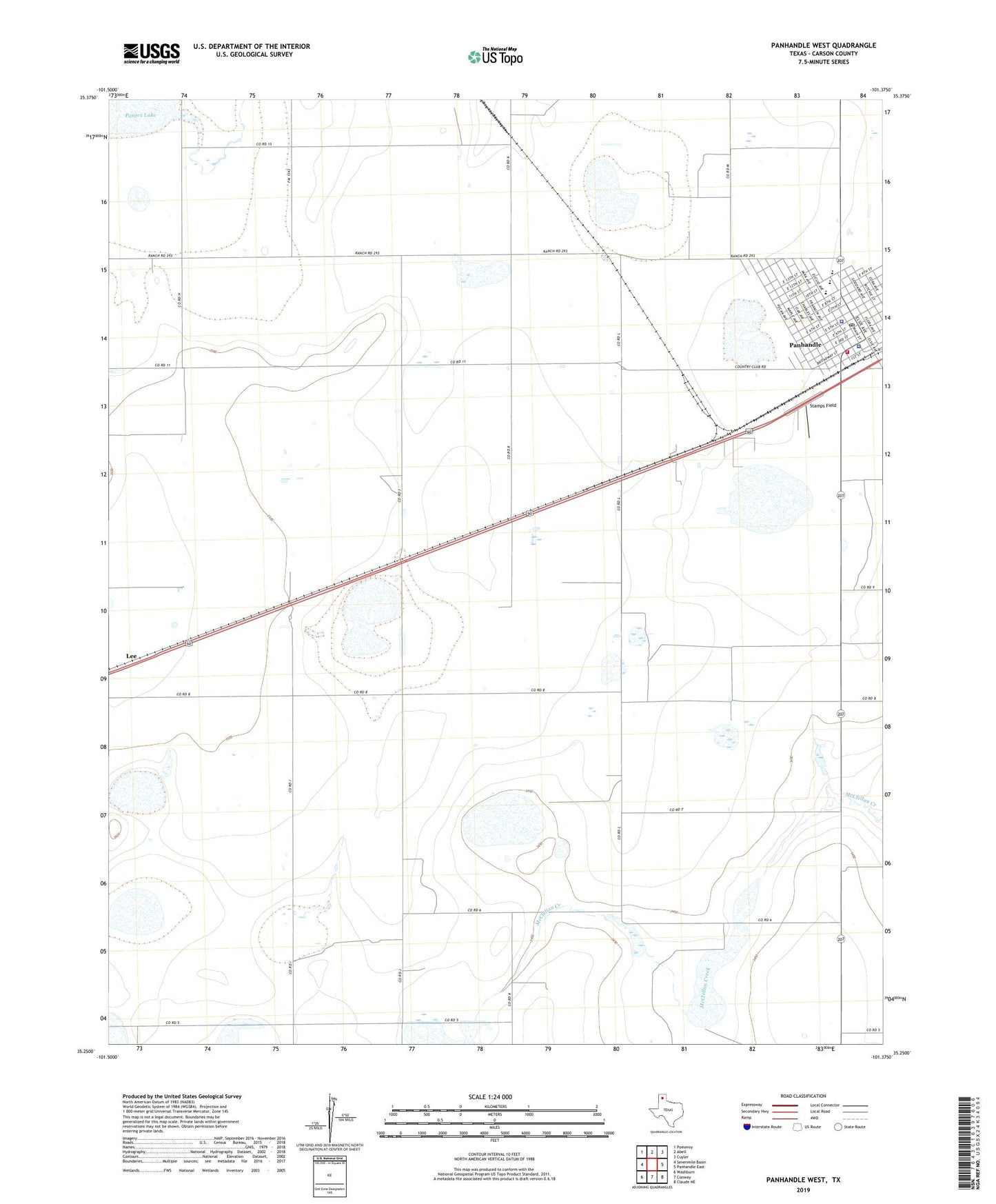
2022 topographic map quadrangle Panhandle West in the state of Texas. Scale: 1:24000. Based on the newly updated USGS 7.5' US Topo map series, this map is in the following counties: Carson. The map contains contour data, water features, and other items you are used to seeing on USGS maps, but also has updated roads and other features. This is the next generation of topographic maps. Printed on high-quality waterproof paper with UV fade-resistant inks.
Quads adjacent to this one:
West: Sevenmile Basin
Northwest: Pomeroy
North: Abell
Northeast: Cuyler
East: Panhandle East
Southeast: Claude NE
South: Conway
Southwest: Washburn
This map covers the same area as the classic USGS quad with code o35101c4.
Contains the following named places: Bois D'Arc Tree, Carson County Sheriff's Office, Carson County Square House Museum, Lee, Panhandle, Panhandle City Hall, Panhandle Elementary School, Panhandle Fire Department, Panhandle Junior High School, Panhandle Police Department, Panhandle Post Office, Panhandle Volunteer Emergency Medical Services, Panther Stadium, Stamps Field, Town of Panhandle, ZIP Code: 79068