MyTopo
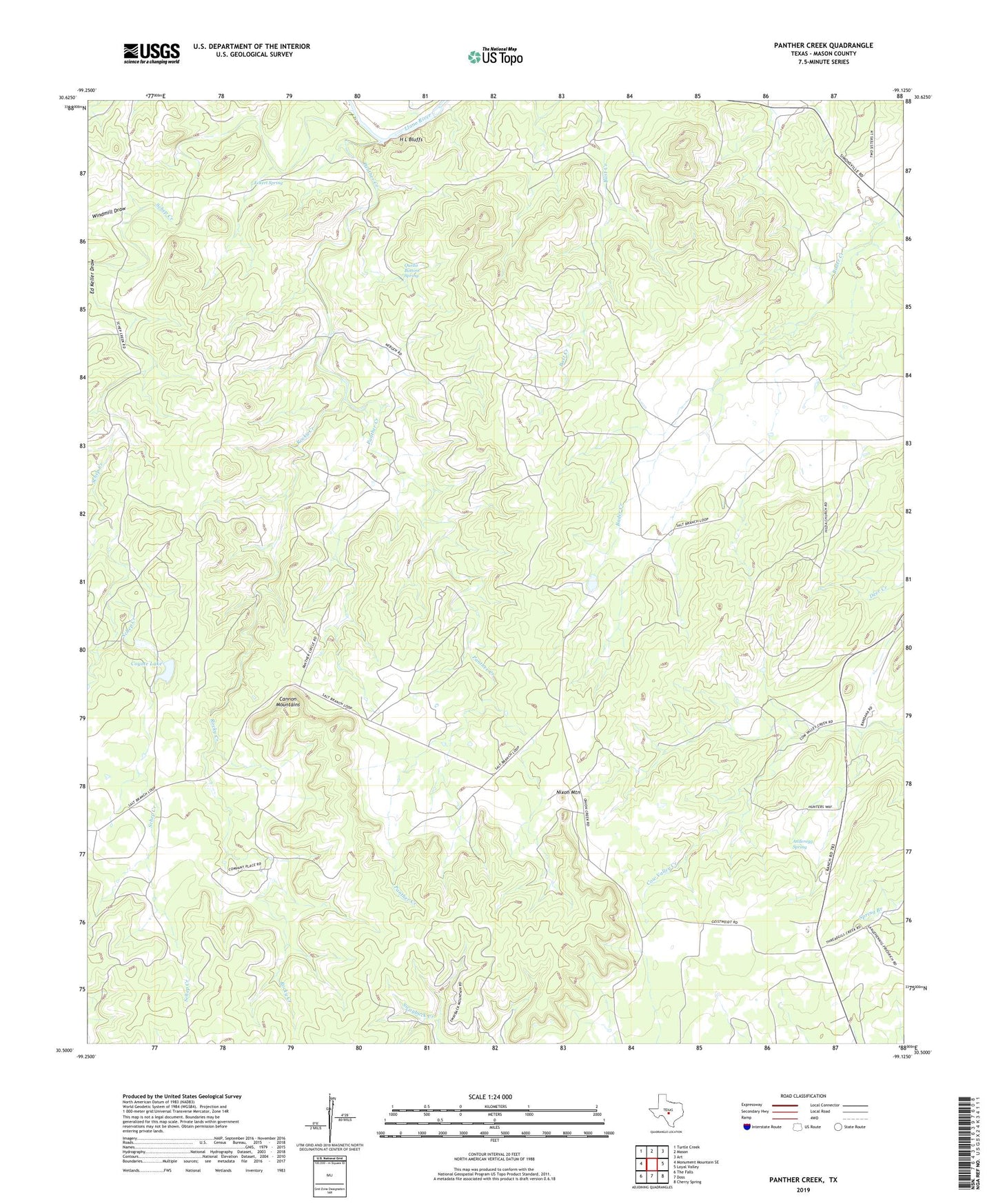
Panther Creek Texas US Topo Map
Couldn't load pickup availability
2022 topographic map quadrangle Panther Creek in the state of Texas. Scale: 1:24000. Based on the newly updated USGS 7.5' US Topo map series, this map is in the following counties: Mason. The map contains contour data, water features, and other items you are used to seeing on USGS maps, but also has updated roads and other features. This is the next generation of topographic maps. Printed on high-quality waterproof paper with UV fade-resistant inks.
Quads adjacent to this one:
West: Monument Mountain SE
Northwest: Turtle Creek
North: Mason
Northeast: Art
East: Loyal Valley
Southeast: Cherry Spring
South: Doss
Southwest: The Falls
This map covers the same area as the classic USGS quad with code o30099e2.
Contains the following named places: Anderegg Spring, Cannon Mountains, Coyote Lake, Eckert Spring, H L Bluffs, Nixon Mountain, Panther Creek, Quella Bottom Spring, Rocky Creek, Schep Creek, Windmill Draw