MyTopo
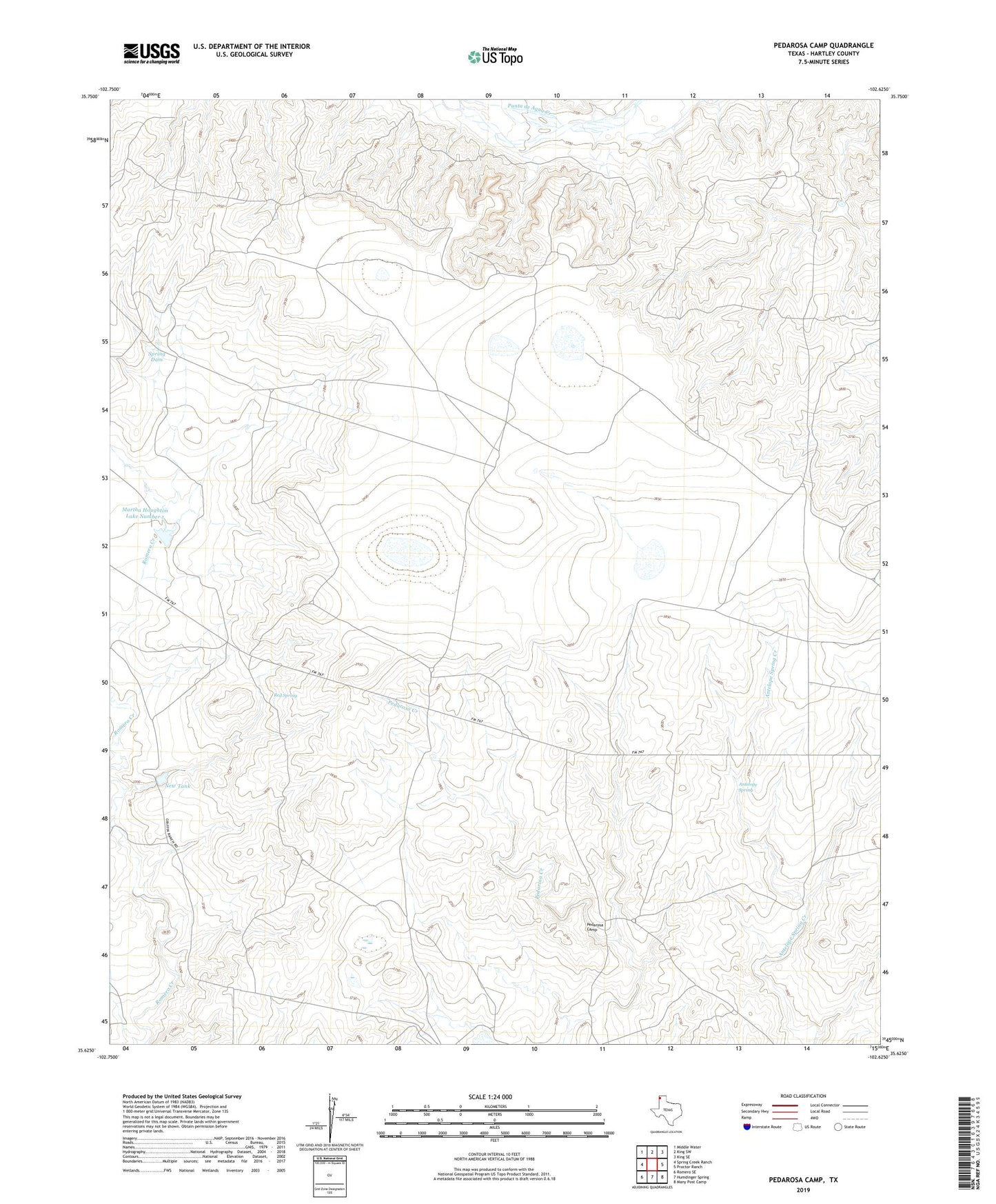
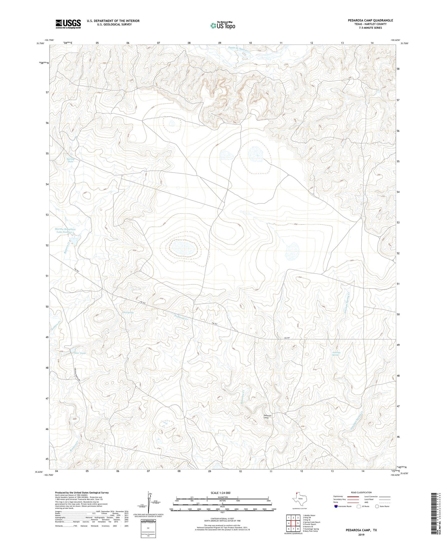
Pedarosa Camp Texas US Topo Map
Couldn't load pickup availability
2019 topographic map quadrangle Pedarosa Camp in the state of Texas. Scale: 1:24000. Based on the newly updated USGS 7.5' US Topo map series, this map is in the following counties: Hartley. The map contains contour data, water features, and other items you are used to seeing on USGS maps, but also has updated roads and other features. This is the next generation of topographic maps. Printed on high-quality waterproof paper with UV fade-resistant inks.
Quads adjacent to this one:
West: Spring Creek Ranch
Northwest: Middle Water
North: King SW
Northeast: King SE
East: Proctor Ranch
Southeast: Many Post Camp
South: Humdinger Spring
Southwest: Romero SE
Contains the following named places: Antelope Spring, Banks Windmill, Cattail Windmill, East Punta de Agua Windmill, Full Blood Windmill, Green Tower Windmill, Hackberry Windmill, Line Windmill, Lone Tree Windmill, Martha Houghton Lake Number 1, Martha Houghton Lake Number 1 Dam, Martha Houghton Lake Number 2 Dam, New Full Blood Windmill, New Tank, Partition Windmill, Pedarosa Camp, Red Spring, Shipping Pasture Windmill, Sinclair Windmill, Smith Windmill, Soda Windmill, South Windmill, Spring Dam, Trujillo Windmill