MyTopo
Pettit Texas US Topo Map
Couldn't load pickup availability
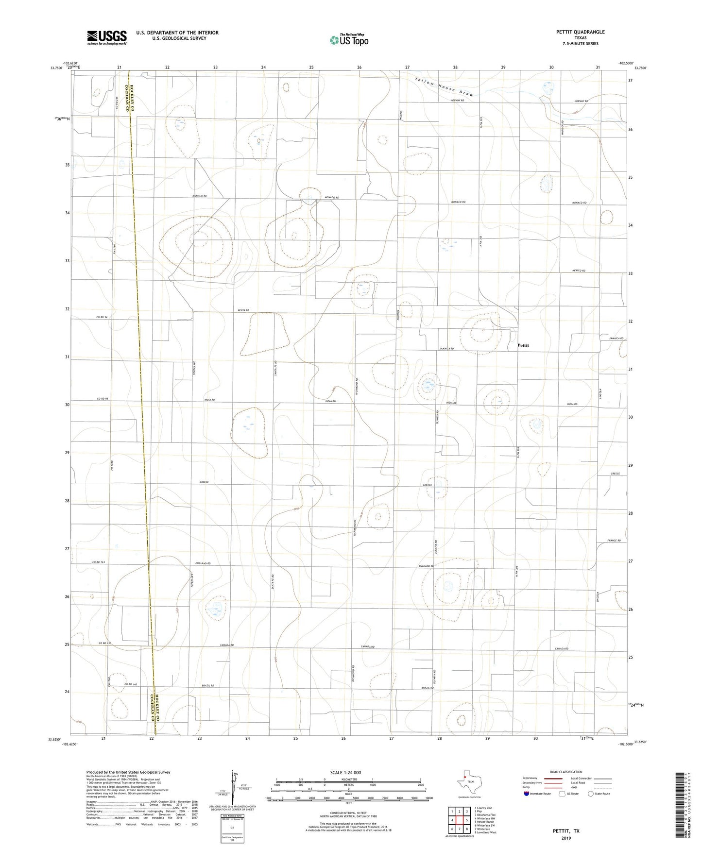
2022 topographic map quadrangle Pettit in the state of Texas. Scale: 1:24000. Based on the newly updated USGS 7.5' US Topo map series, this map is in the following counties: Hockley, Cochran. The map contains contour data, water features, and other items you are used to seeing on USGS maps, but also has updated roads and other features. This is the next generation of topographic maps. Printed on high-quality waterproof paper with UV fade-resistant inks.
Quads adjacent to this one:
West: Whiteface NW
Northwest: County Line
North: Pep
Northeast: Oklahoma Flat
East: Hester Ranch
Southeast: Levelland West
South: Whiteface
Southwest: Whiteface SW
This map covers the same area as the classic USGS quad with code o33102f5.
Contains the following named places: Levelland and Slaughter Oil and Gas Field, Pettit, Whiteface Farms