MyTopo
Placedo Texas US Topo Map
Couldn't load pickup availability
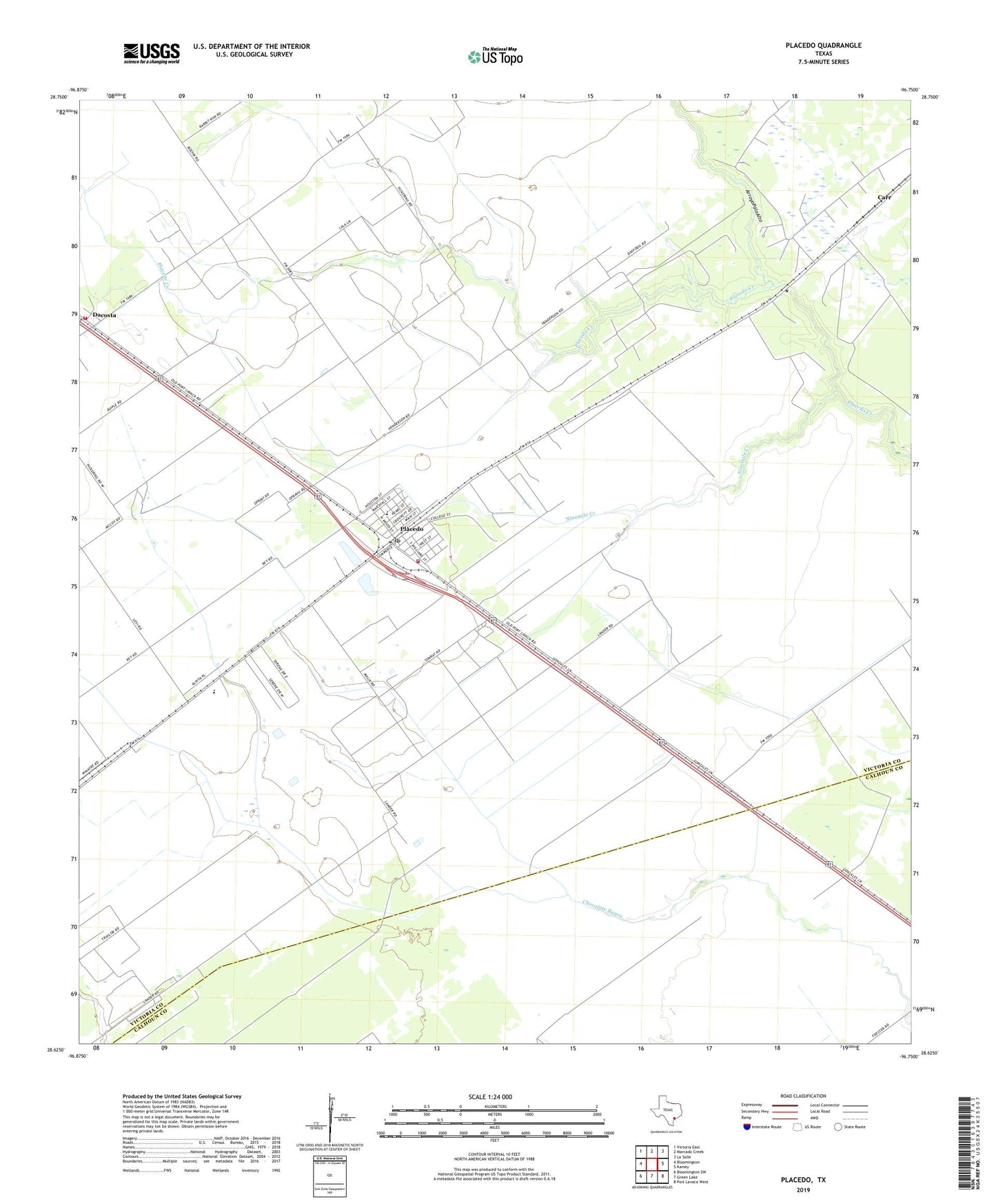
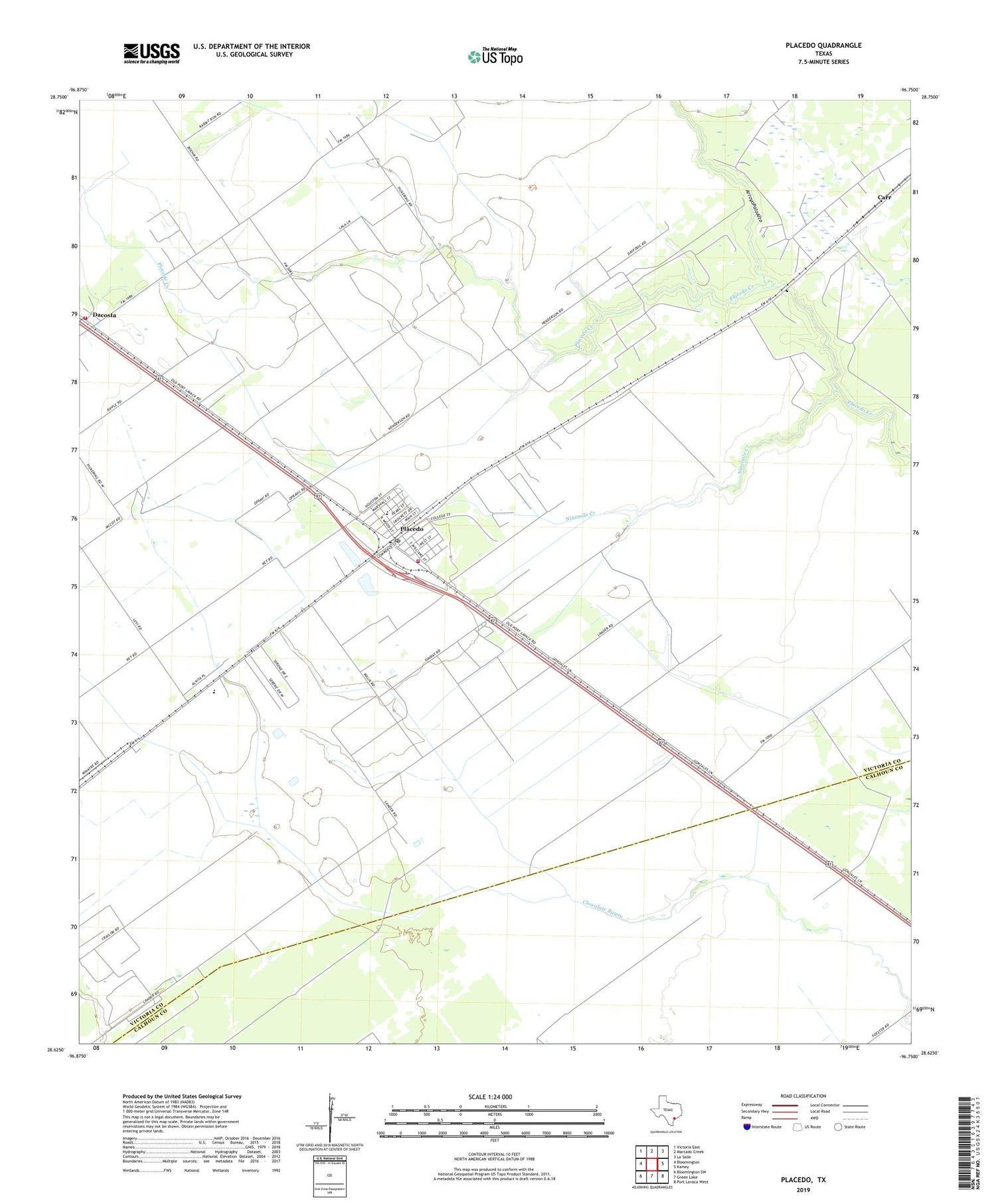
2019 topographic map quadrangle Placedo in the state of Texas. Scale: 1:24000. Based on the newly updated USGS 7.5' US Topo map series, this map is in the following counties: Victoria, Calhoun. The map contains contour data, water features, and other items you are used to seeing on USGS maps, but also has updated roads and other features. This is the next generation of topographic maps. Printed on high-quality waterproof paper with UV fade-resistant inks.
Quads adjacent to this one:
West: Bloomington
Northwest: Victoria East
North: Marcado Creek
Northeast: La Salle
East: Kamey
Southeast: Port Lavaca West
South: Green Lake
Southwest: Bloomington SW
Contains the following named places: Arroyo Palo Alto, Bloomington High School, Bloomington Junior High School, Carr, Dacosta, Dacosta Volunteer Fire Department, Ninemile Creek, Placedo, Placedo Census Designated Place, Placedo Elementary School, Placedo Oil Field, Placedo Post Office, Placedo Volunteer Fire Department, Victoria South Division, ZIP Code: 77977