MyTopo
Pony Flats Texas US Topo Map
Couldn't load pickup availability
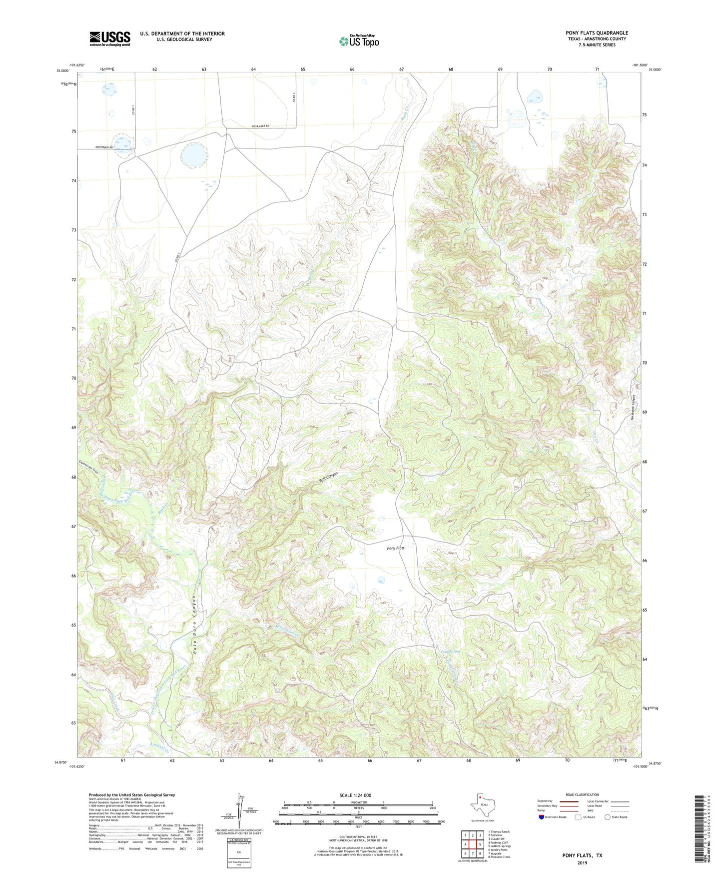
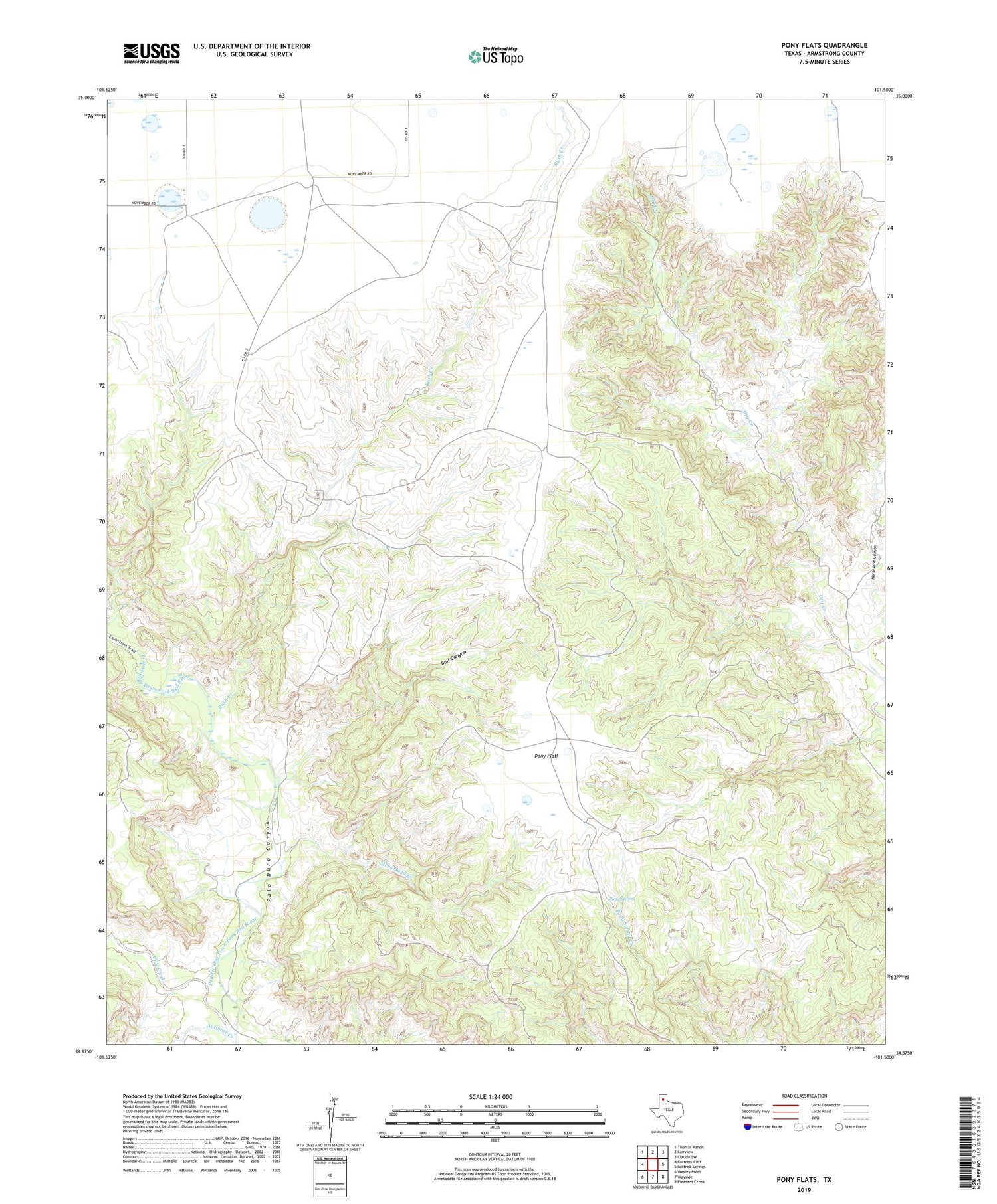
2019 topographic map quadrangle Pony Flats in the state of Texas. Scale: 1:24000. Based on the newly updated USGS 7.5' US Topo map series, this map is in the following counties: Armstrong. The map contains contour data, water features, and other items you are used to seeing on USGS maps, but also has updated roads and other features. This is the next generation of topographic maps. Printed on high-quality waterproof paper with UV fade-resistant inks.
Quads adjacent to this one:
West: Fortress Cliff
Northwest: Thomas Ranch
North: Fairview
Northeast: Claude SW
East: Luttrell Springs
Southeast: Pleasant Creek
South: Wayside
Southwest: Wesley Point
Contains the following named places: Antibust Creek, Bull Canyon, Cita Creek, Harrell Ranch, Horseshoe Canyon, Mackenzie Battleground, McFarland Creek, Pony Flats, Pony Spring, Rush Creek