MyTopo
Post Oak Mountain Texas US Topo Map
Couldn't load pickup availability
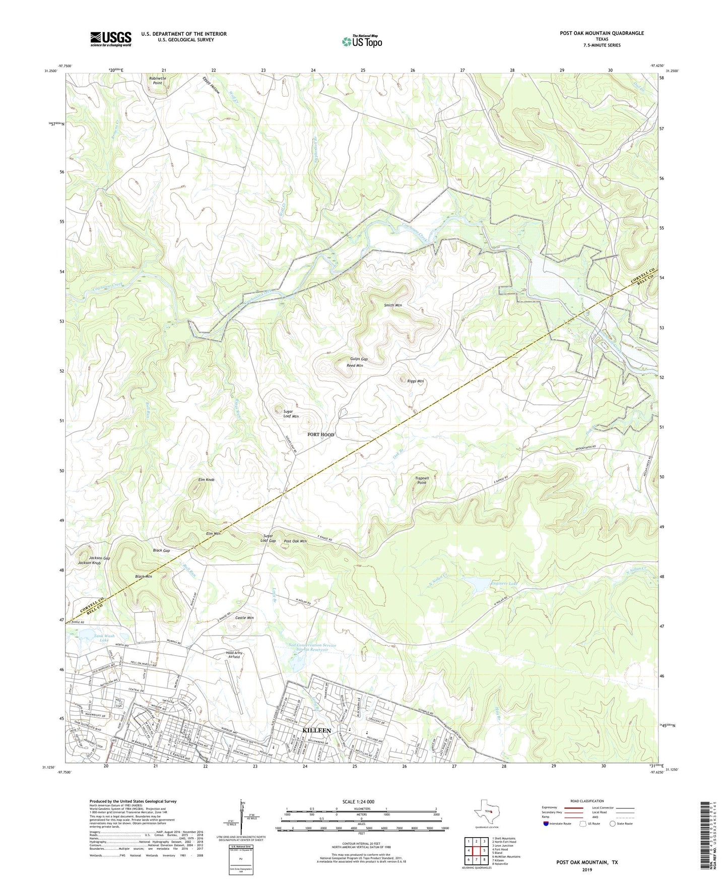
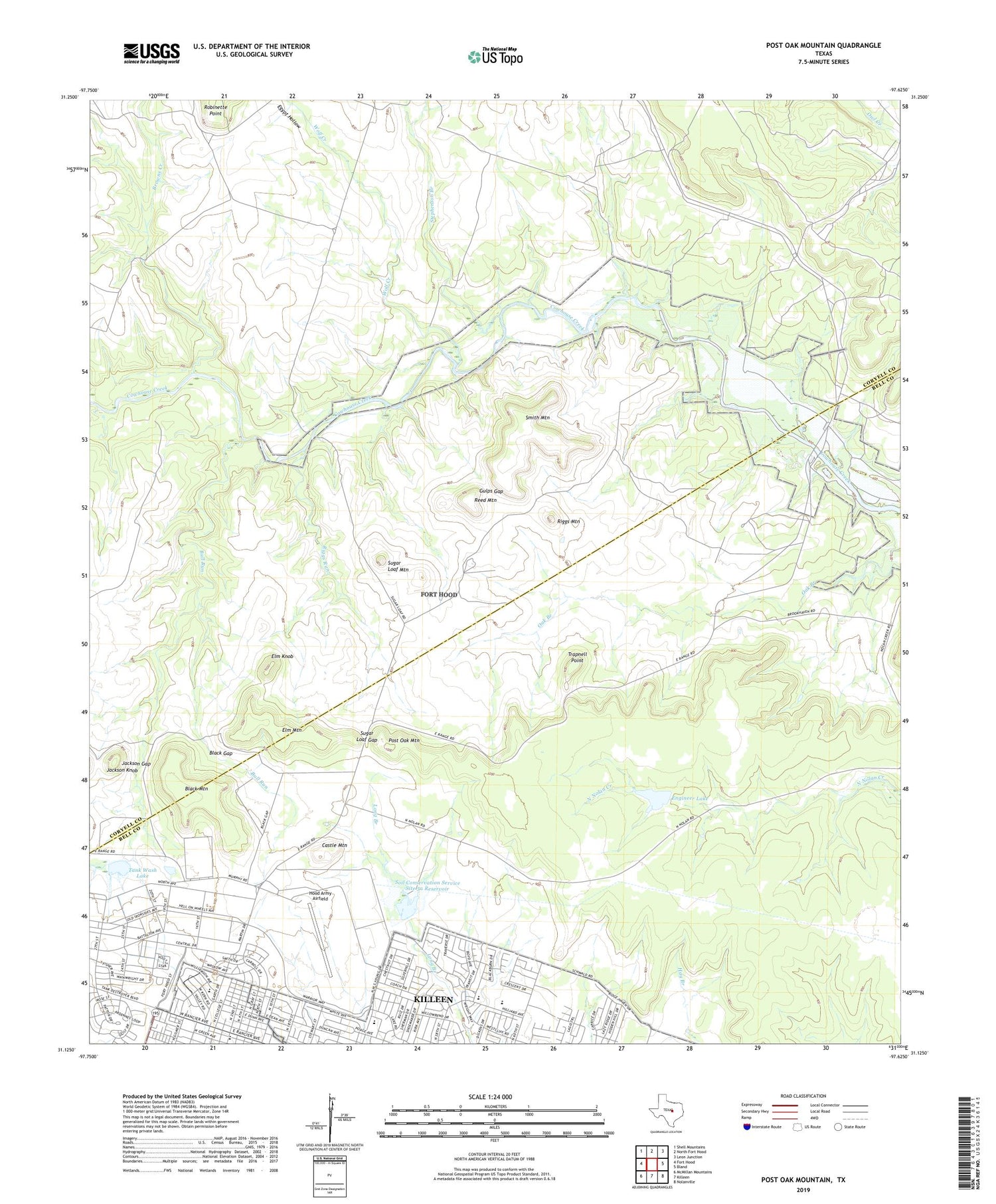
2019 topographic map quadrangle Post Oak Mountain in the state of Texas. Scale: 1:24000. Based on the newly updated USGS 7.5' US Topo map series, this map is in the following counties: Coryell, Bell. The map contains contour data, water features, and other items you are used to seeing on USGS maps, but also has updated roads and other features. This is the next generation of topographic maps. Printed on high-quality waterproof paper with UV fade-resistant inks.
Quads adjacent to this one:
West: Fort Hood
Northwest: Shell Mountains
North: North Fort Hood
Northeast: Leon Junction
East: Bland
Southeast: Nolanville
South: Killeen
Southwest: McMillan Mountains
Contains the following named places: Black Gap, Black Mountain, Brookhaven, Browns Creek, Bull Run, Castle Mountain, Curry Crossing, Egypt Hollow, Elm Knob, Elm Mountain, Engineer Lake, Engineer Lake Dam, Fairway Middle School, First Church of the Nazarene, Fort Hood Division, Fourth Infantry Division Museum, Glad Tidings Pentecostal Church of God, Gulps Gap, Hood Army Airfield, Jackson Gap, Jackson Knob, Mason Crossing, Meadows Elementary School, Meadows School, Peebles Elementary School, Post Oak Mountain, Power House Church of God in Christ, Rancier Middle School, Reed Mountain, Riggs Ford, Riggs Mountain, Riggs Run, Smith Mountain, Soil Conservation Service Site 5a Dam, Soil Conservation Service Site 5a Reservoir, Stephenson Branch, Sugar Loaf Gap, Sugar Loaf Mountain, Tank Wash Dam, Tank Wash Lake, Trapnell Point, United Pentecostal Church, Walker Village, West Ward Elementary School, West Ward School, Wolf Creek, ZIP Code: 76543


