MyTopo
Bland Texas US Topo Map
Couldn't load pickup availability
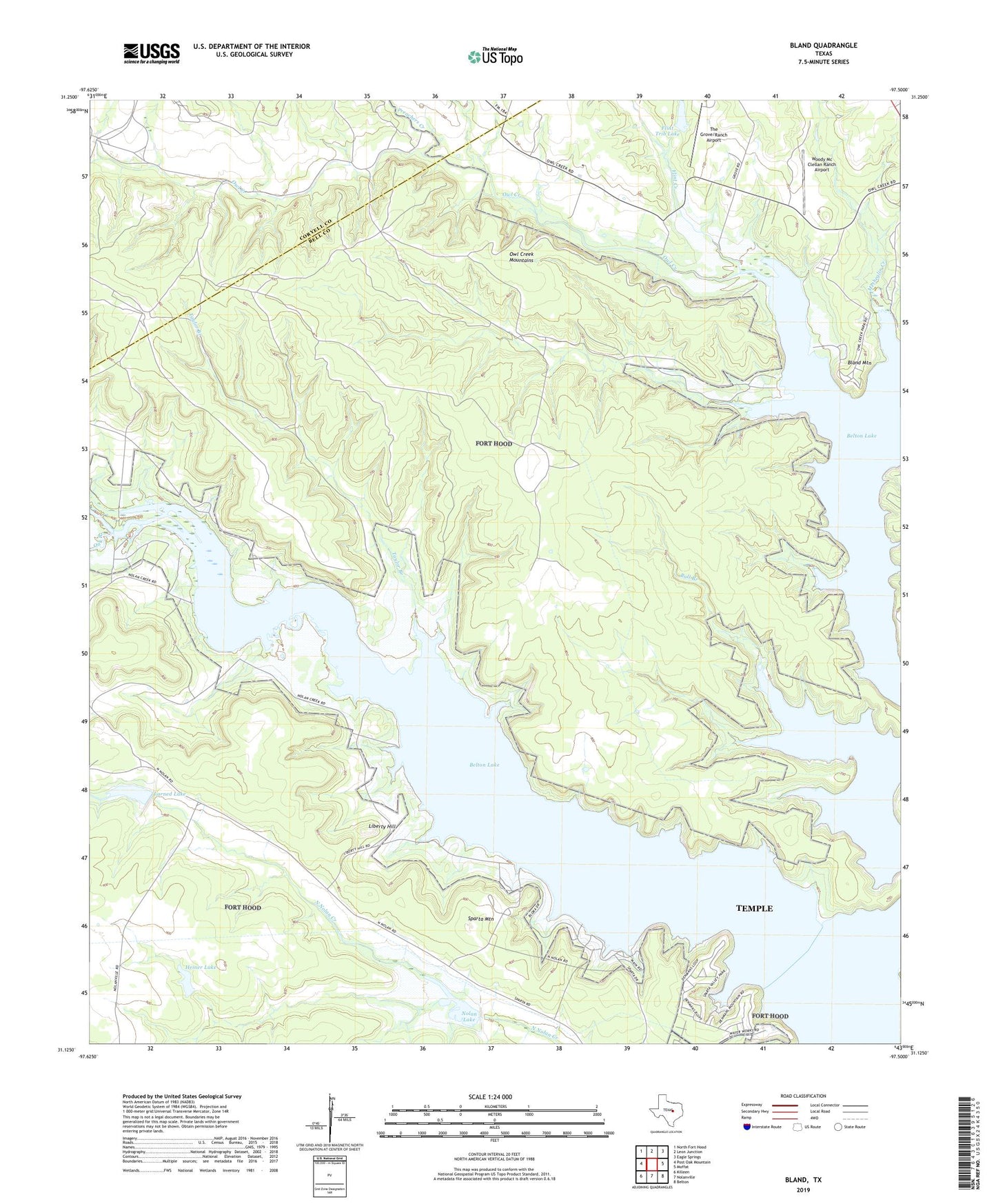
2022 topographic map quadrangle Bland in the state of Texas. Scale: 1:24000. Based on the newly updated USGS 7.5' US Topo map series, this map is in the following counties: Bell, Coryell. The map contains contour data, water features, and other items you are used to seeing on USGS maps, but also has updated roads and other features. This is the next generation of topographic maps. Printed on high-quality waterproof paper with UV fade-resistant inks.
Quads adjacent to this one:
West: Post Oak Mountain
Northwest: North Fort Hood
North: Leon Junction
Northeast: Eagle Springs
East: Moffat
Southeast: Belton
South: Nolanville
Southwest: Killeen
This map covers the same area as the classic USGS quad with code o31097b5.
Contains the following named places: Bear Creek, Belton Lake, Bland, Bland Mountain, Bull Branch, Cold Springs, County Line Community Church, Cowhouse Creek, Flint Creek, Flint Trib Lake, Flint Trib Lake Dam, Fort Hood Recreation Area, Gatesville Water Filtration Plant, Heiner Lake, Heiner Lake Dam, Larned Lake, Liberty Hill, Liberty Hill Motocross Track, Nolan Lake, Oak Branch, Owl Creek, Owl Creek Mountains, Owl Creek Park, Owl Creek Wildlife Management Area, Preachers Creek, Soil Conservation Service Site 2 Dam, Soil Conservation Service Site 3 Dam, Sparta Mountain, Sparta Valley Park, Taylor Branch, The Grove/Ranch Airport, Union Hill, Woody Mc Clellan Ranch Airport