MyTopo
Reed Camp Texas US Topo Map
Couldn't load pickup availability
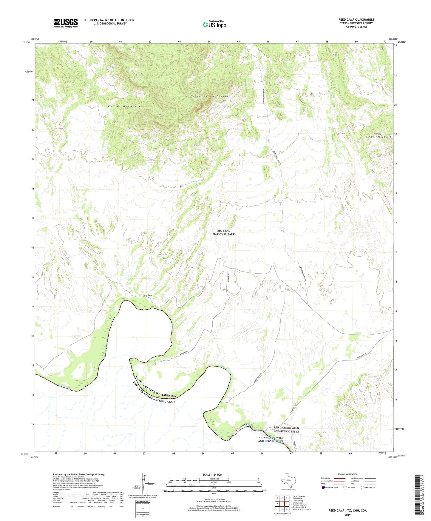
2022 topographic map quadrangle Reed Camp in the state of Texas. Scale: 1:24000. Based on the newly updated USGS 7.5' US Topo map series, this map is in the following counties: Brewster. The map contains contour data, water features, and other items you are used to seeing on USGS maps, but also has updated roads and other features. This is the next generation of topographic maps. Printed on high-quality waterproof paper with UV fade-resistant inks.
Quads adjacent to this one:
West: Smoky Creek
Northwest: Cerro Castellan
North: Emory Peak
Northeast: Glenn Spring
East: Mariscal Mountain
Southeast: Mariscal Mountain OE S
South: Reed Camp OE S
This map covers the same area as the classic USGS quad with code o29103a3.
Contains the following named places: Cow Heaven Mountain, Dominguez Spring Trail, Jewels Camp, Johnson Ranch, Loop Camp, Punta de la Sierra, Reed Camp, Woodsons